
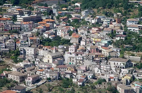
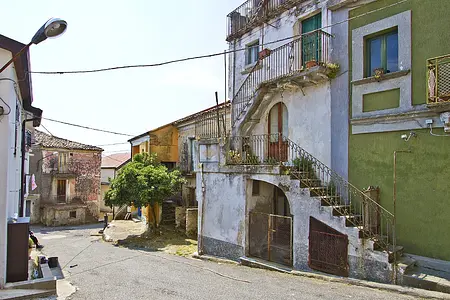
The Road of the Serre Calabresi mountains - Satriano
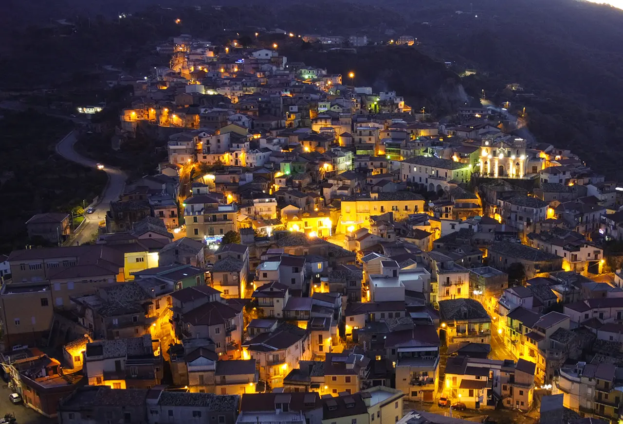
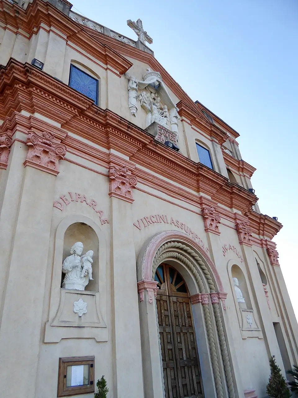
The imposing Mother Church towering over the village hints at the historical depth of the community that built it

Where
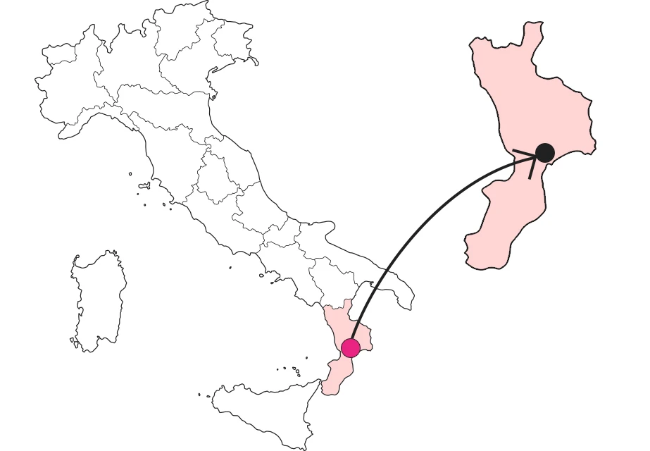
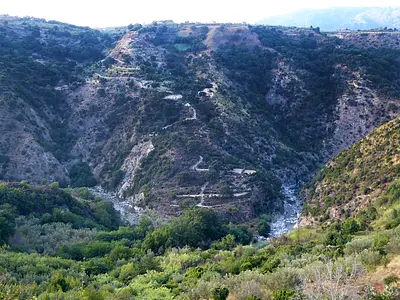
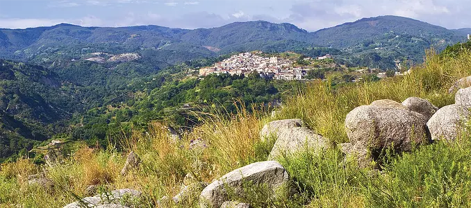
From the Serre to the Ionian, the Ancinale valley.
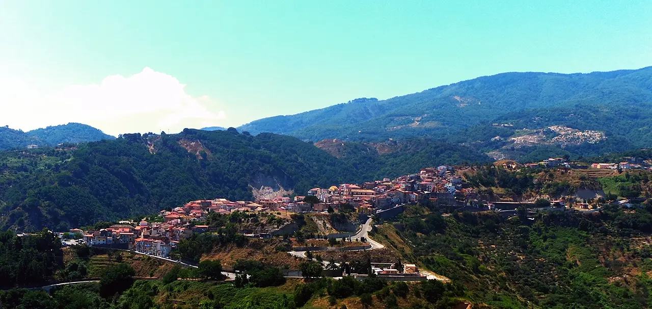
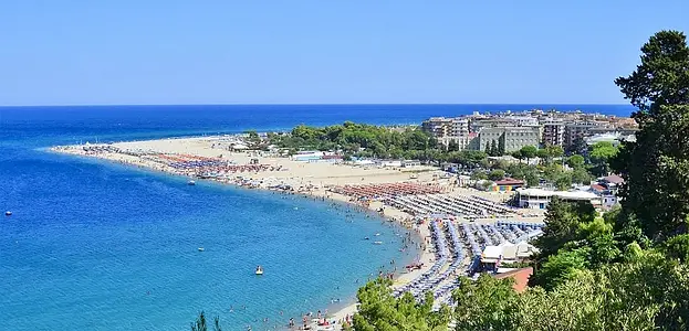
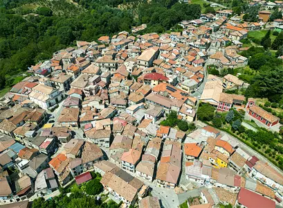
In the early Ionian hinterland Satriano appears to lie on a rocky ridge sloping toward the valley of the Ancinale River. The municipal territory has a brief but delightful overlook to the sea and then stretches up to the watershed, where it has for references the wooded peaks of Mount Sant'Antonino (m 1070) and Mount Fiorino (m 1050). The main town lies at 293 meters above sea level, in the olive belt, while higher up are chestnut forests, a crop of ancient tradition, introducing the striking beech forests of the Serre.
A town that flourished under the sign of the Normans
The community is believed to have been formed at the time of Magna Graecia probably near the mouth of the Ancinale, which at that time is thought to have been navigable for a stretch. A colony of some significance, since its destruction in the 4th century B.C. at the hands of Dionysius, tyrant of Syracuse, is recorded. In Latin times a prominent personage would have been a certain Satrio, a landowner or governor whose name would have imprinted the toponym. The later events are clearer, from the settlement of Basilian monks, to whom we owe the cult of the patron saint St. Theodore, under the aegis of the Norman Roger of Altavilla, who strengthened it as a dominant center over neighboring hamlets.
Signs of a powerful Ligurian family
Satriano is a relevant center in the history of Ionian Calabria, with religious buildings and palaces bearing eloquent witness to its past. The village's rank stands out in the coat of arms of the Ravaschieri lineage that recurs during the visit. The most artistic example, in white marble, decorates a fountain at the entrance to the village. This high lineage Ligurian family landed in Calabria in the 16th century attracted by the opportunity to trade in the silks that were the pride of the region at that time. A successful venture, which in 1609 convinced them to take over from Princess Borgia the land of Satriano with the hamlets of Davoli and San Sostene for the hyperbolic sum of 85,000 ducats.
A church under the aegis of the Altavilla family.
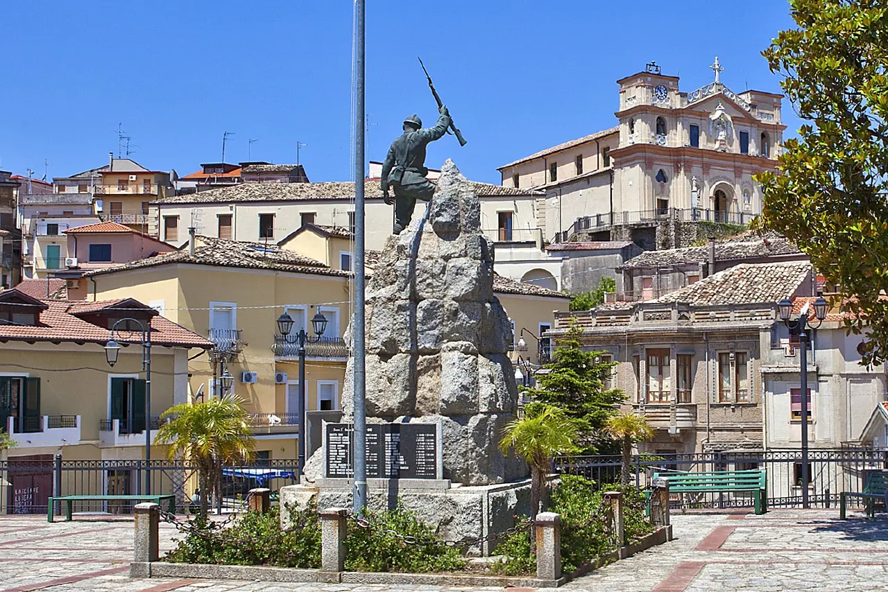
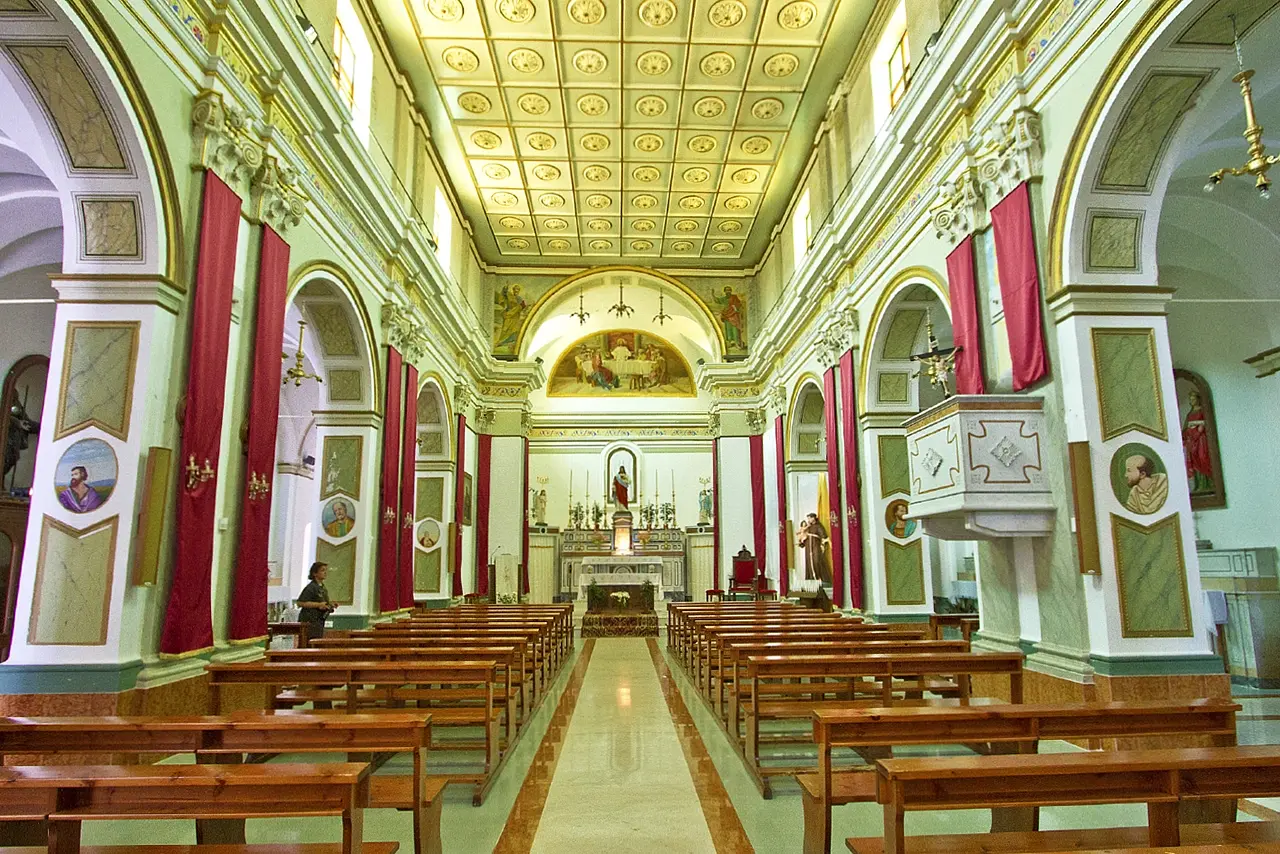
Erected at the highest point of the historic center, the parish church of Santa Maria d'Altavilla is a building placed at the turn of the 14th and 15th centuries, with elements that nonetheless depict a Byzantine foundation. The church, which is admired from afar for its imposing façade flanked by twin bell towers, reveals its details up close: the refined main portal with concentric arches; the sculpture of an altar with the Virgin in the pediment; and a pierced summit band. Crossing the threshold, the polychrome marble high altar with an aedicule containing a statue of the Virgin. Outdoors again, picturesque view of the village and surrounding lands.
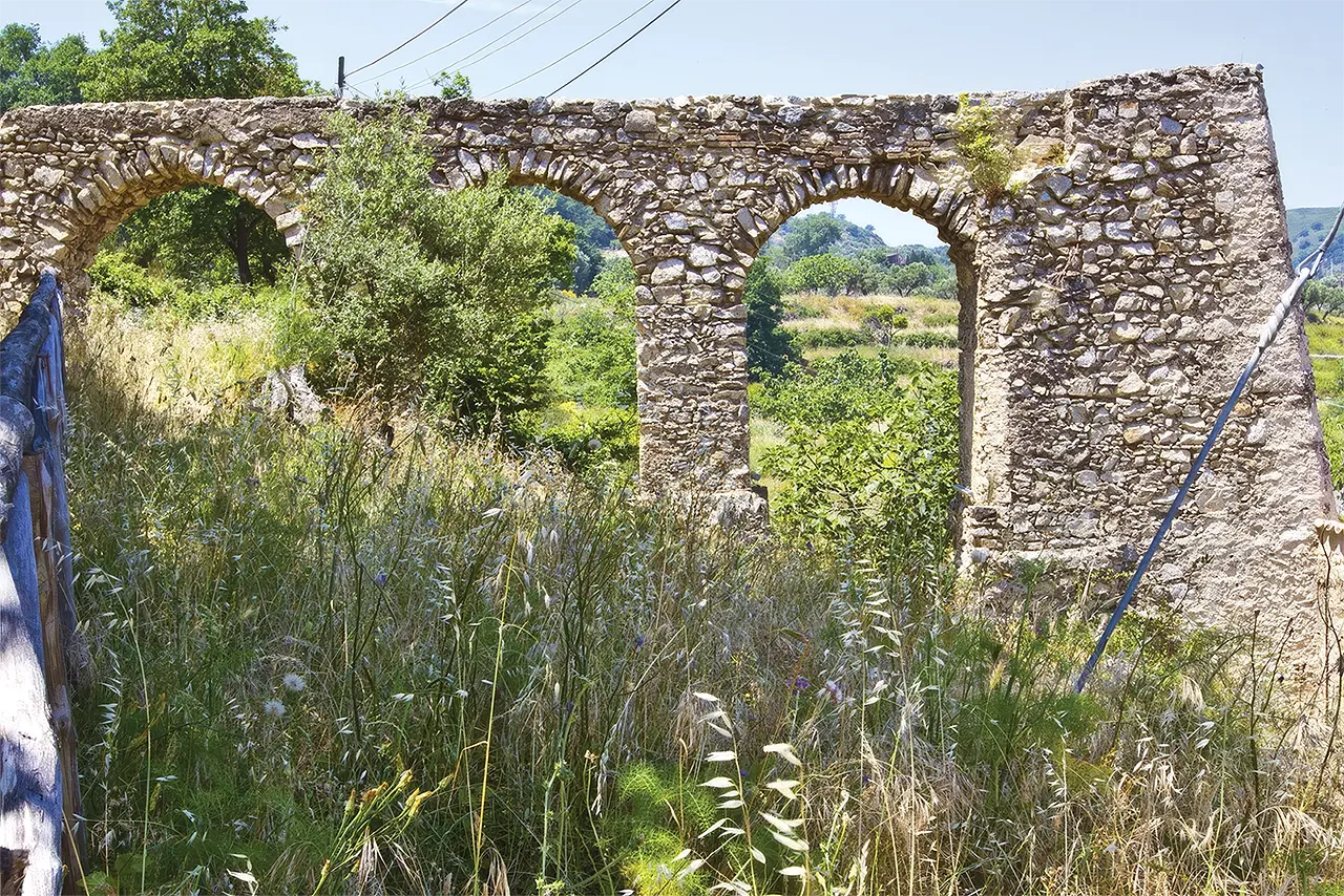
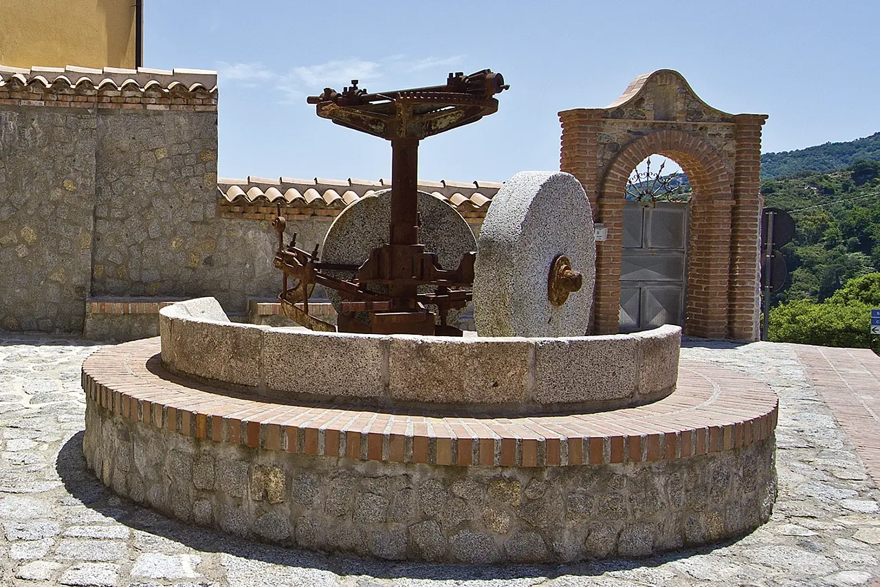
Along the river mills and oil mills
The historical significance of a town is detected not only by its monuments, but also by its productive apparatuses. In the case of Satriano, given the proximity of the Ancinale River, these were primarily water mills for grinding grain. In the locality of Cantore there is a well-restored one, with the feed channel passing the last section on three arches, letting the water fall into the water wheel nozzle, and inside the milling room, restored in the basic mechanisms of its operation.
Enter the Map of Italy's Hidden Wonders and find treasures where you least expect it... Inspire, Recommend, Share...
The Map thanks:
PSC 2014-2020 del Ministero del turismo - Avviso “Montagna Italia” - Progetto le Montagne del sole - Codice CUP J38J22000450008

Enter the Map of Italy's Hidden Wonders and find treasures where you least expect it... Inspire, Recommend, Share...
On the Calabrian Serre Road
INTRODUZIONE
On the Calabrian Serre Road
2 di 7
The Road of the Serre Calabresi mountains - Soverato
3 di 7
The Road of the Serre Calabresi mountains - Gagliato
4 di 7
The Road of the Serre Calabresi mountains - Argusto
5 di 7
The Road of the Calabrian Serre - Torre di Ruggiero
6 di 7
The Road of the Serre Calabresi mountains - Cardinale
7 di 7
The Road of the Serre Calabresi mountains - Satriano
Where