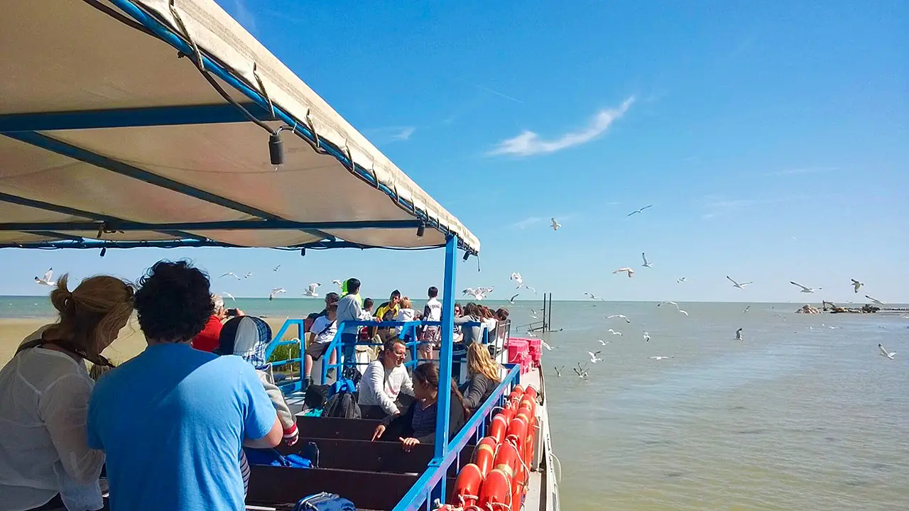

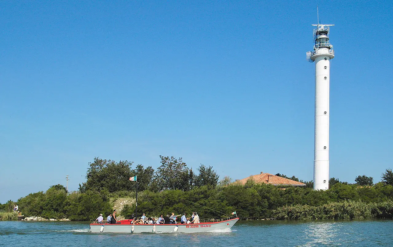


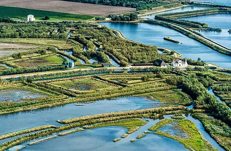
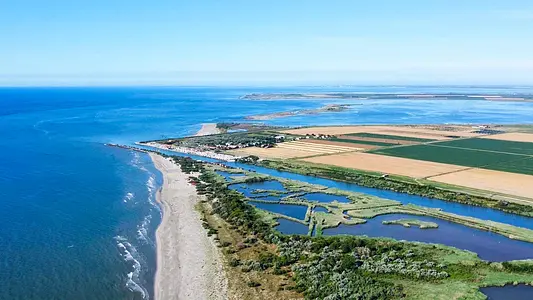
The Po di Pila, from Porto Viro to the lighthouse at Punta Maistra
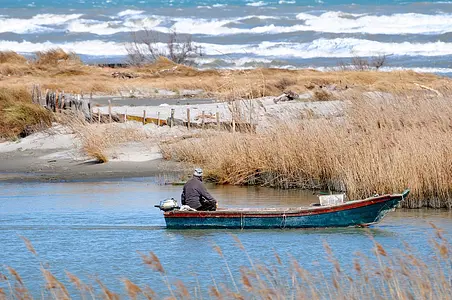
In the heart of the Delta, at a time of certain lonely beaches that further you just can't go


Where
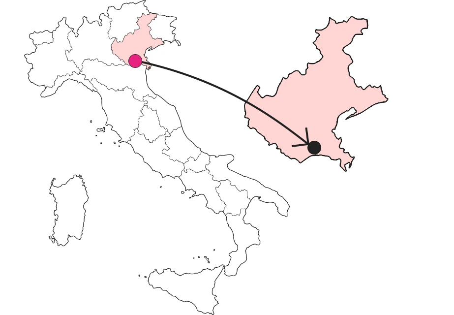
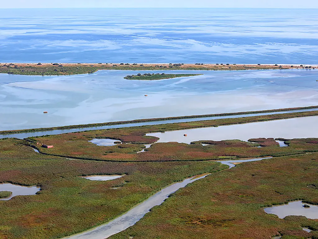
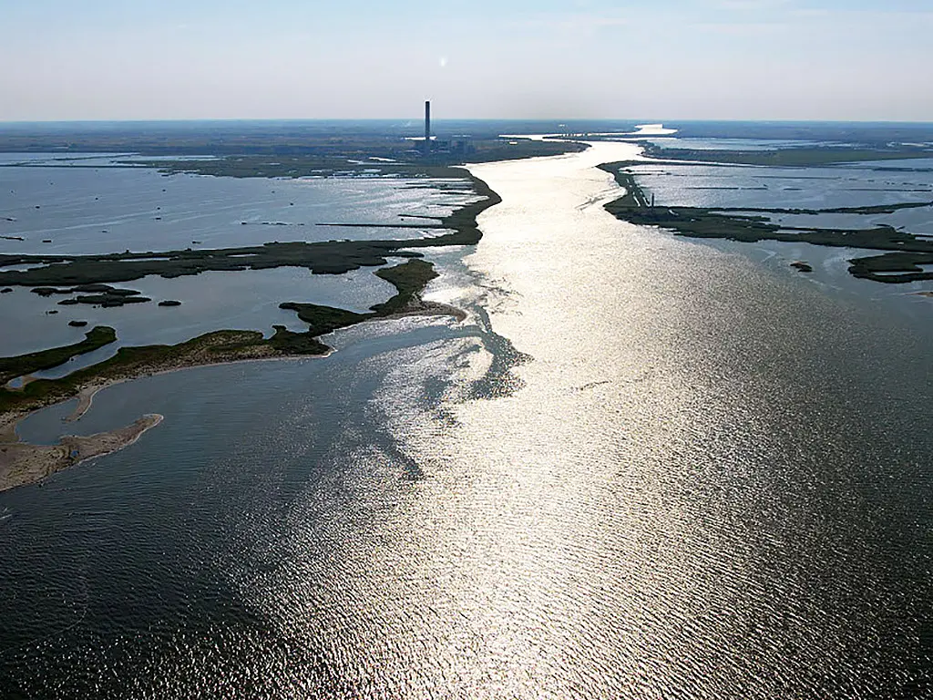
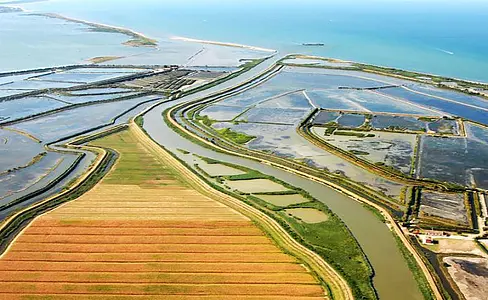
The threshold of entry into the Delta is conventionally placed at the point where the first branch, the Po di Goro, recedes to the right. Then it will be the turn of the Po di Gnocca, toward the southeast, and the Po di Maistra, toward the northeast. From here on, the main course will take the name Po di Venezia, in memory of the hydraulic enterprise that in the early 17th century, under the auspices of the Serenissima, imprinted it with its present course. Last detached, on the right, is the Po di Tolle.
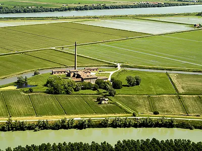
In its last kilometers the main course will be named Po della Pila, after the fishing center that represents its extreme outpost. The river is wide and is crossed by two bridges, thanks to which it is possible to variously design an itinerary.The first bridge, over which the Romea state highway runs, connects Porto Viro to Taglio di Po. The second, on the other hand, is located downstream from Ca' Tiepolo, the municipal center of Porto Tolle.
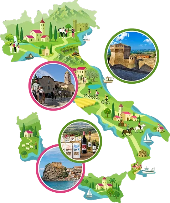
Enter the Map of Italy's Hidden Wonders and find treasures where you least expect it... Inspire, Recommend, Share...
Contacts
Collections
The Map thanks:
Enter the Map of Italy's Hidden Wonders and find treasures where you least expect it... Inspire, Recommend, Share...
The Po Delta
INTRODUZIONE
The Po Delta
2 di 8
The Po di Levante, from Adria to Porto Caleri
3 di 8
The Po di Maistra, from Ca' Venier to Boccasette

4 di 8
The Po di Pila, from Porto Viro to the lighthouse at Punta Maistra
5 di 8
The Po delle Tolle, from Ca Tiepolo to the Sacca di Scardovari
6 di 8
The Po of the Hottie, from Ca' Tiepolo to Santa Giulia

7 di 8
The Po di Goro, from Ariano in the Polésine to the Bacucco lighthouse
8 di 8
The Po di Volano, from Ferrara to Pomposa Abbey.
Where
Contacts
Collections