

Mount Trematerra (m 1228)
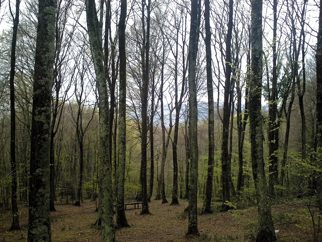
This wooded peak is the hiking landmark of the Ionian side of the Calabrian Serres


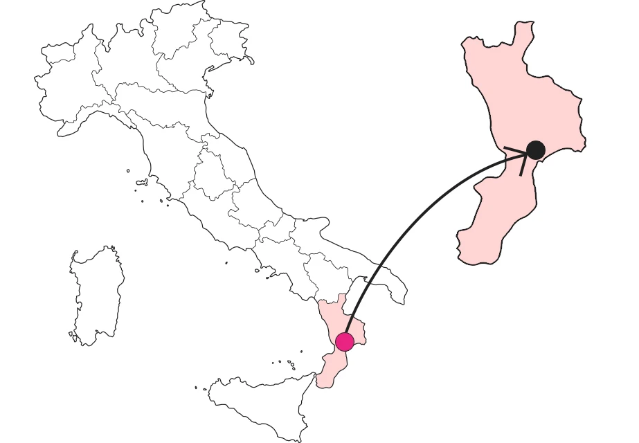
Where
Trematerra, a name that speaks volumes
Following the Serre Calabresi ridge as it develops from north to south, the first peak of prominence is the Serralta di San Vito (m 1023) beyond which the watershed continues, always cloaked in splendid forests, toward Mount Cucco (m 958), significant not for its height but because it is the point of origin of two long, diverging ridges. The eastern one, so to speak Ionian, gives rise to a mountain range whose main peaks are Mount Tramazza (m 1143), Mount Burilli (m 1188) and the dominant Mount Trematerra (m 1244), although these are reliefs without distinctive features and always forested. And if certain place names should be taken as they are, on Trematerra there is no uncertainty of interpretation.
Ascending the mountain from the Piani della Lacina
Mount Trematerra is an important landmark for hiking in the Serre. The easiest access route is from Brugnaturo along provincial road 43, which crosses the ridge and at length lands in Santa Caterina dello Ionio, diverting, however, to the dam that forms the Lacina reservoir. From this end of the reservoir, at 958 meters above sea level, a loop trail starts, which after the first section open on the beautiful basin, develops almost entirely in the shade of beech forests, following the ridge until it touches the summit of Trematerra.
The vertiginous gorge of the Alaca River.
Another access route to the Lacina basin is instead from the Ionian side, climbing from San Sòstene or Sant'Andrea Apostolo along roads once beaten by woodcutters and shepherds, having Mount Trematerra as a looming backdrop. At its southern foot flows the Alaca River, here at its most impervious, cluttered with huge granite boulders and dotted with picturesque pools. A gorge of eerie beauty, it has in recent years become a canyoning gym, the river version of climbing, a discipline, however, reserved for the most skilled sportsmen.
Enter the Map of Italy's Hidden Wonders and find treasures where you least expect it... Inspire, Recommend, Share...
The Map thanks:
PSC 2014-2020 del Ministero del turismo - Avviso “Montagna Italia” - Progetto le Montagne del sole - Codice CUP J38J22000450008

Enter the Map of Italy's Hidden Wonders and find treasures where you least expect it... Inspire, Recommend, Share...