
Vajont Dam
From historical catastrophe to resource for the land; a place of silence where nature stands supreme


Where
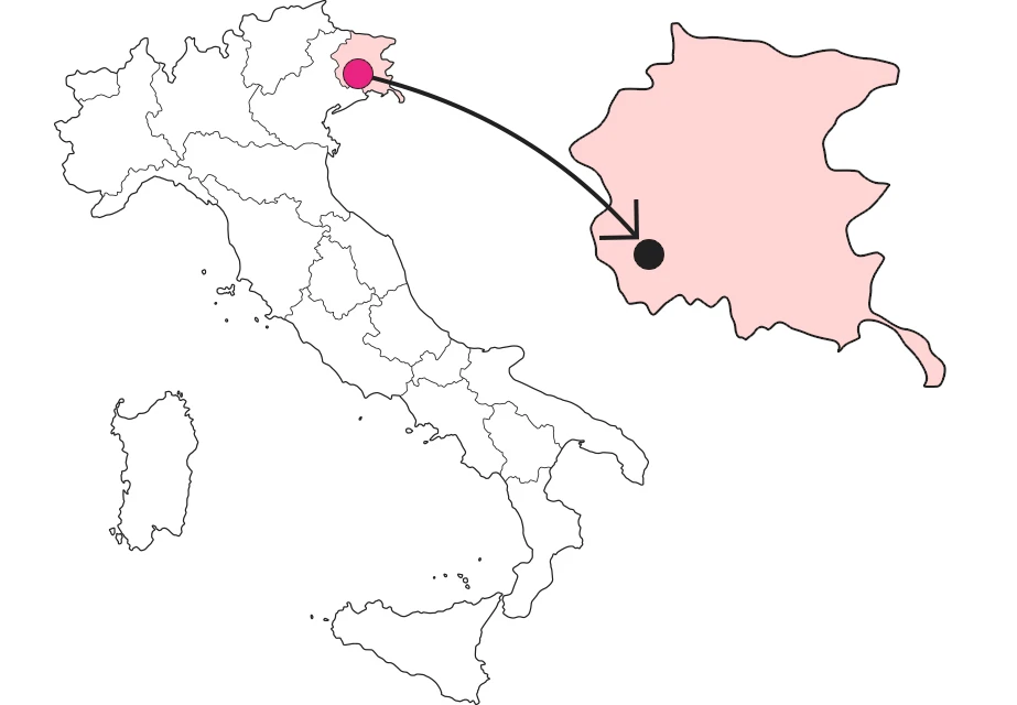
What it is and where it is
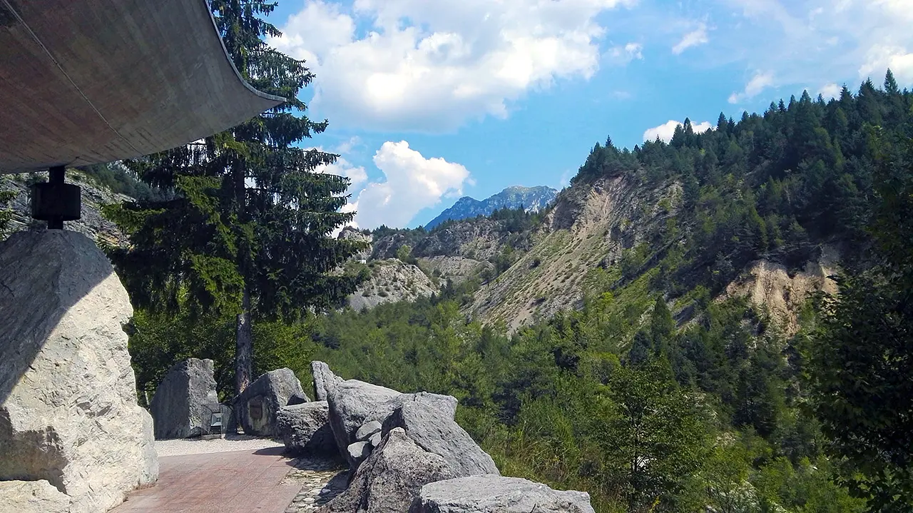
We are in the car when the phone's navigator goes haywire as we arrive at the Ponte nelle Alpi junction. We decide to turn left, toward Longarone. We find ourselves driving up a very narrow mountain road, when to our eyes, from the perforated tunnels carved into the rock, an impressive concrete wall appears overhanging the void. The smooth, compact, cold mass contrasts with the fragmented, vegetation-dotted mass of the mountains it rests against. I did not expect to end up here, and I exclaim, "It's the Vajont Dam!"
Why it is special
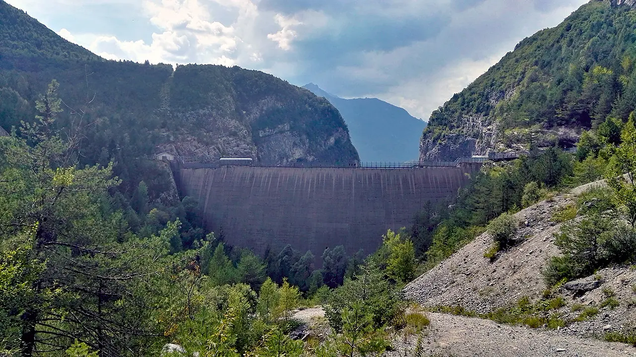
Arriving at the parking lot we get out of the car and before us is a breathtaking view. The now dry river course descends into the valley - bringing with it the many sediments that detect the landslide past of the surrounding rock walls - until it meets this mighty double-arched concrete structure about 190 meters long. A giant man-made barrier between the provinces of Belluno and Pordenone, enclosed in a natural complex that towers above it. And we, bewildered by the echo of the silence that bounces among these high mountains, feel small and helpless, facing the majesty of nature that here, more than in other places, rises to uncontested and uncontrollable sovereignty.
Not to be missed
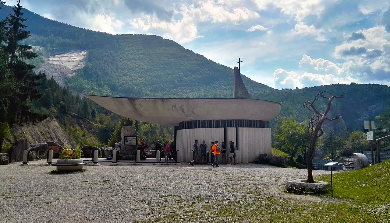
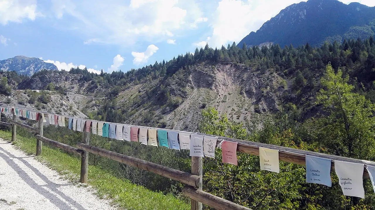
The Friulian Dolomites Natural Park is in charge of managing guided tours in the "Vajont Dam Crowning" trail. The park's naturalist guides will take you along a historical trail, where indelible signs of the past resurface: not only the immense landslide, but also capitals, small churches and architectural skeletons of old houses. The most powerful experience is to find oneself walking on the highest arch of the dam and observing with one's own eyes the leap into the void of about 260 meters. In short, vertigo-proof!
A bit of history
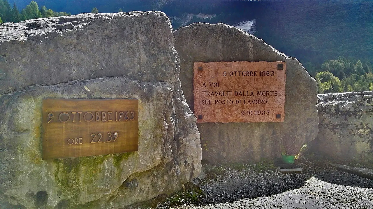
The Vajont Dam, designed by engineer Carlo Semenza from 1926 to 1958, was then built from 1957 to 1960, along the course of the stream of the same name, in the municipality of Erto and Casso. It was officially inaugurated in October 1961, without ever having reached testing. At 10:39 p.m. on October 9, 1963, a landslide slipped from the slope of the overhanging Mount Toc, which caused water to overflow from the reservoir, resulting in the washout of the banks of the lake, in which Erto and Casso were involved. Subsequently, the overtopping of the dam by the giant wave caused the destruction of villages in the valley floor of the neighboring Veneto region, including Longarone. Since August 11, 2007, the crowning of the dam has been officially open to the public, as a very impressive trail in the Friulian Dolomites Natural Park.
Enter the Map of Italy's Hidden Wonders and find treasures where you least expect it... Inspire, Recommend, Share...
Contacts
Collections
The Map thanks:
Enter the Map of Italy's Hidden Wonders and find treasures where you least expect it... Inspire, Recommend, Share...
Where
Contacts
Collections