
The Underwater Wonders of the Costa Viola
Here, where two seas meet, powerful currents and steep seabeds create one of Calabria’s most fascinating destinations for divers.

Where

Where the "Costa Viola" is located
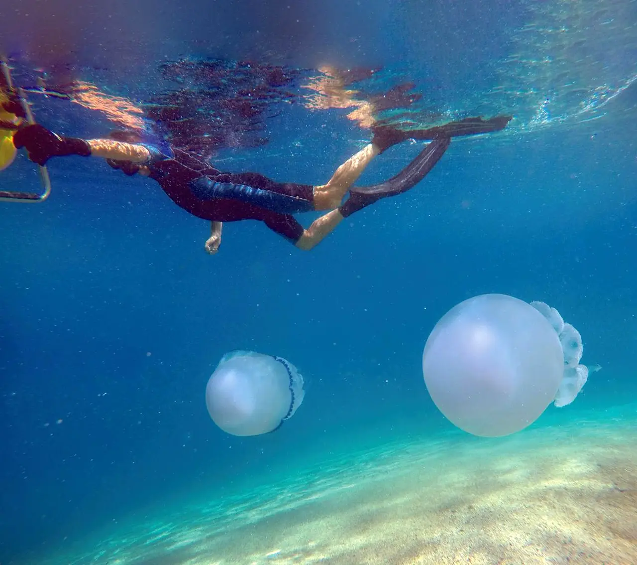
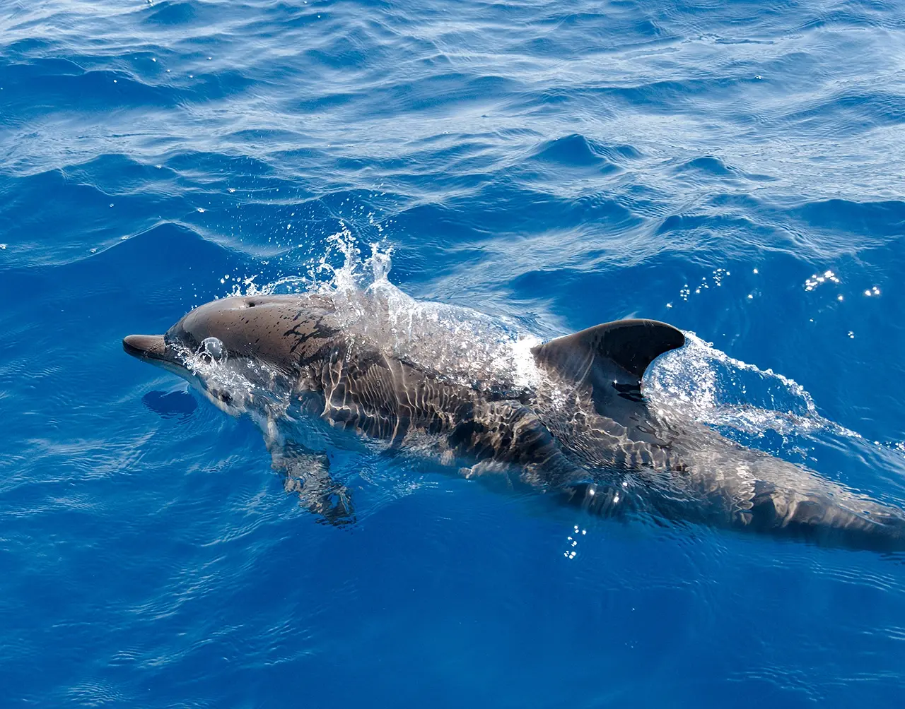
Tyrrhenian Sea and Ionian Sea: the narrow strait carved between Calabria and Sicily that connects them is a unique environment in the world; seabeds that drop rapidly from a few tens of meters to abysmal depths; strong currents that reverse periodically, giving rise to an underwater habitat of extraordinary variety. This is especially true for the coastal stretch of Scilla, to be precise between Punta Pacì and Favazzina, recognized as a site of special naturalistic importance, with extensive posidonia meadows and large colonies of corals. In the background, a stretch of sea beaten by major pelagic fish, swordfish above all, and cetaceans such as dolphins, sperm whales and minke whales, hinting only at rare appearances, such as that of theorca, that fuel the myth of the Strait.
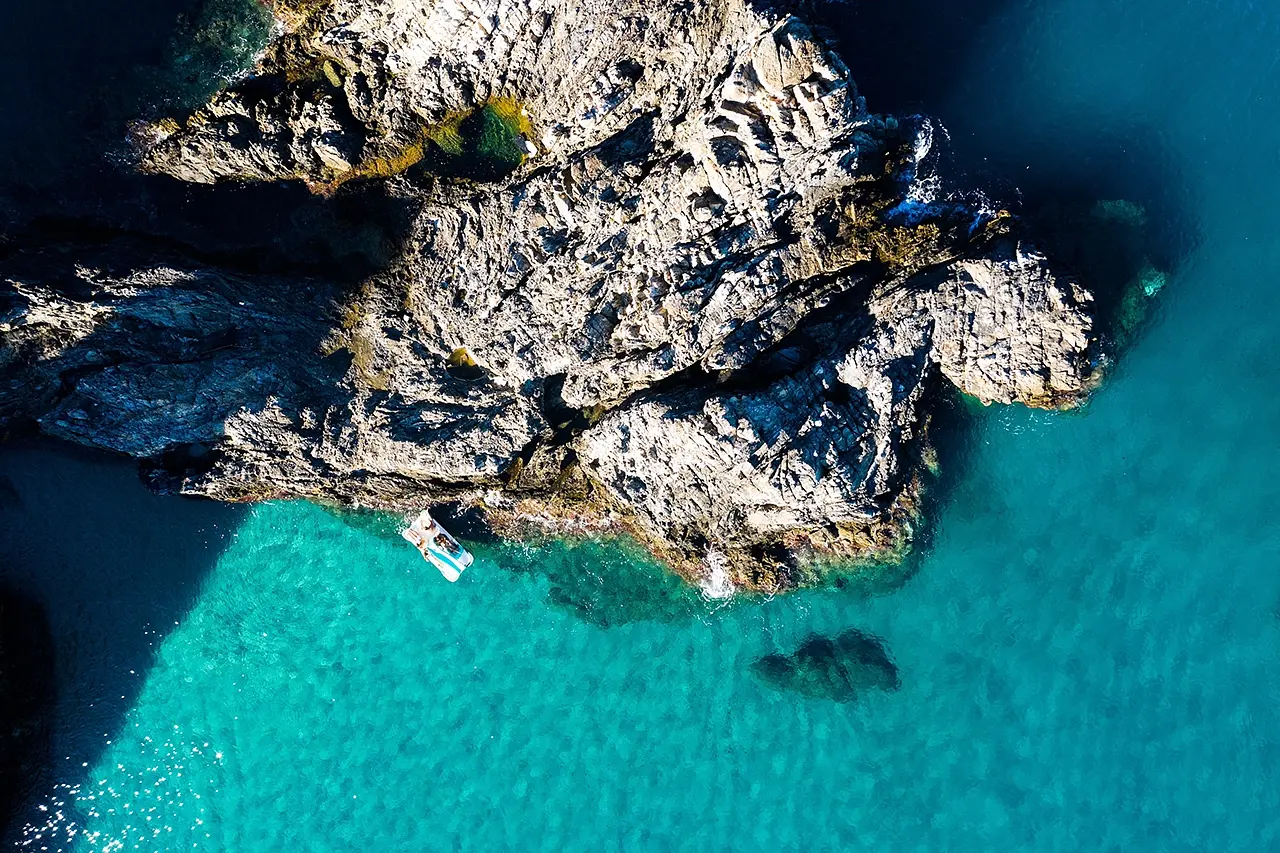
Why it's special: the Siren's Rock.
In tourist terms, this translates into a review of dives of extraordinary variety, ranging from the ten-meter depths of the shallows within reach of beginners to the more than fifty reachable only by the most experienced. For example, at the northern edge of Marina Grande is the Scoglio delle Sirene, a semi-surfaced formation with a foot at a depth of 16 meters, i.e., a preview of the beauty of the Costa Viola seabed just a few fins away from the beach. On the other hand, it doesn't take long to reach, not far from the promontory, one of the most highly rated dive spots: the Montagna, a granite monolith with vertical walls that at 20 meters from the surface sinks with vertical walls offering the spectacle of coral colonies and fish such as the flashy St. Peter (Zeus faber).
The large shoal of the 'Mpaddata
A substantially different environment, also just off the promontory of Scylla, is that of the great shoal of the 'Mpaddata, a kind of rocky chain with two faces. The side facing the harbor, marked by small passing caves, descends to 40 meters and has a seabed manned by burrowing fish, groupers, scorpionfish, moray eels, and lapped by swarms of brightly colored fish; the one sloping amphitheatrically toward greater depths with caves and shaded areas, on the other hand, is entirely covered by large branches of yellow-red gorgonians that stand out against the abyssal blue. But there is more because the shoal's location favors the sighting of spectacular schools of amberjack, skipjack and barracuda crossing offshore.
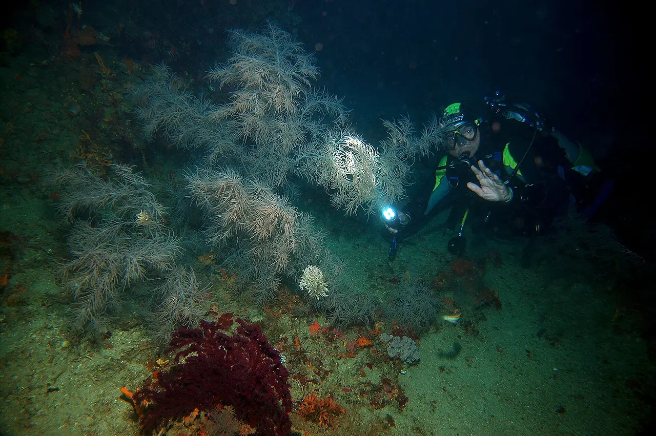
The Secca dei Francesi
One of the most naturally significant environments northeast of the Scylla promontory is the Secca dei Francesi, so-called because it was discovered in the 1960s by an expedition of explorer Jacques Cousteau. This is actually a rocky ridge extending between 58 and 70 meters in depth - thus within the reach of only the most trained divers - on which a colony of black coral (Antipathella subpinnata) has developed, a rather rare species for the Mediterranean. An enchanted place, according to the few able to reach it, a kind of underwater forest floating lightly as if moved by an abyssal wind.
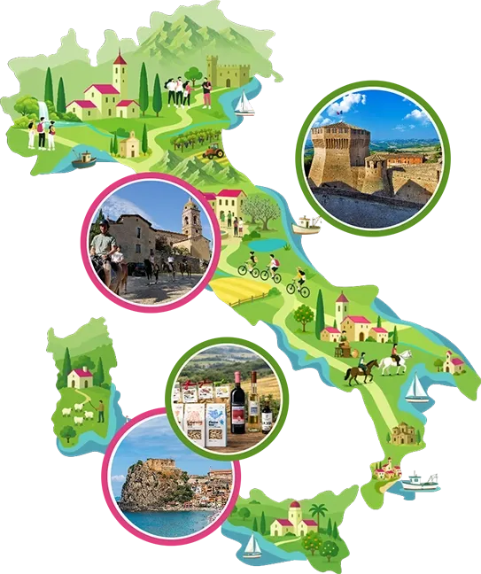
Enter the Map of Italy's Hidden Wonders and find treasures where you least expect it... Inspire, Recommend, Share...
Collections
The Map thanks:
Scilla, dove peschiamo sorrisi – Comune di Scilla – PNRR Ministero della Cultura M1C3, Mis. 2, Inv. 2.1 “Attrattività dei borghi storici” – Finanziato dall’Unione europea, NextGenerationEU – CUP: F79I22000150006 – CIG B8DCA761AB

Enter the Map of Italy's Hidden Wonders and find treasures where you least expect it... Inspire, Recommend, Share...