

Rocchetta Nervina, from the waters of the Rio Barbaira
Companion waters


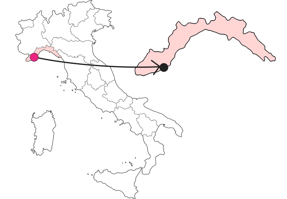
Where
What it is and where it is
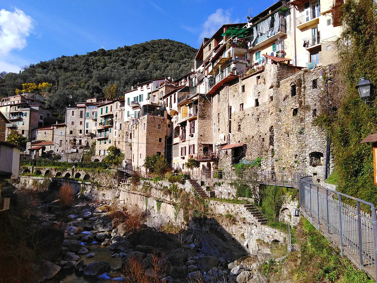
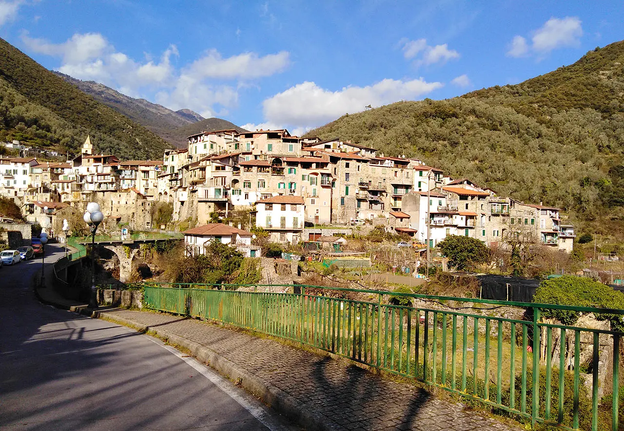
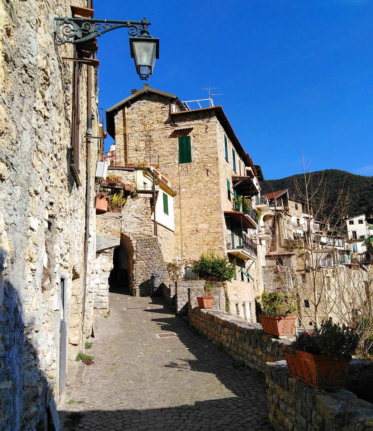
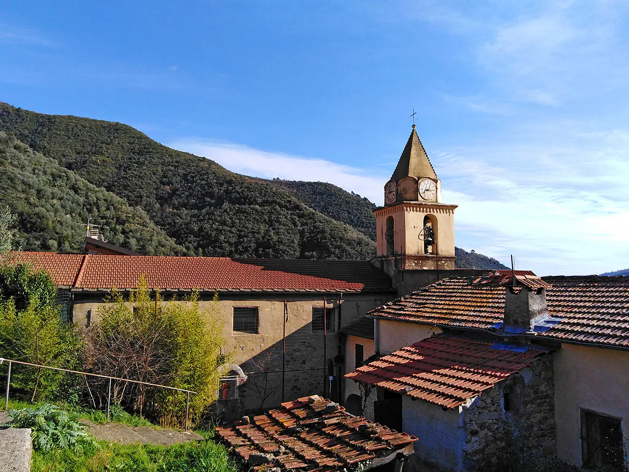
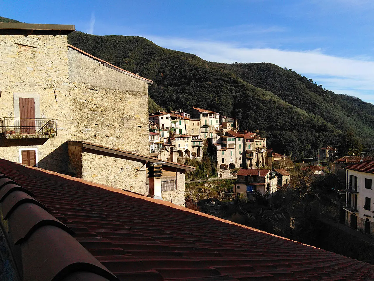
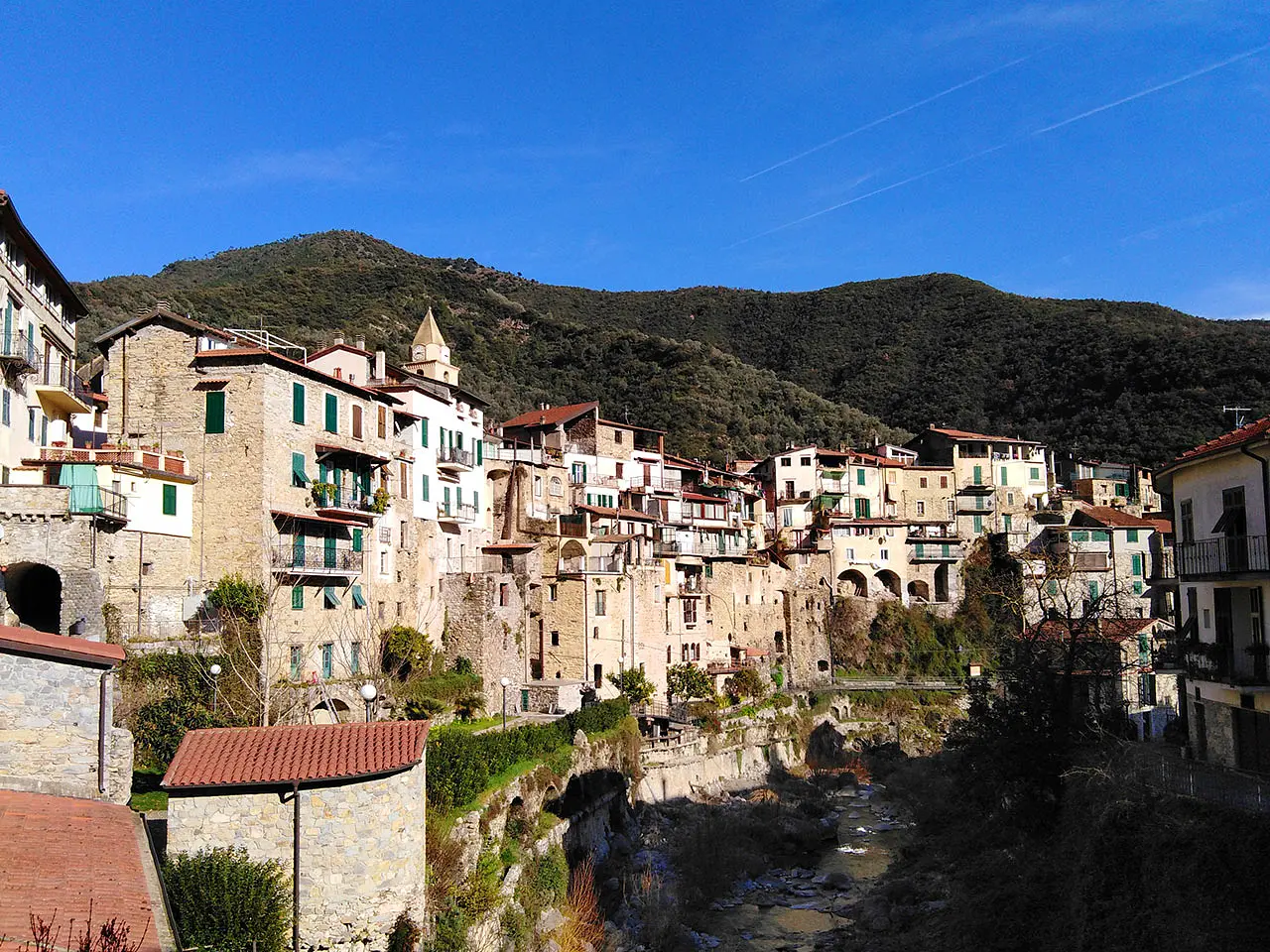
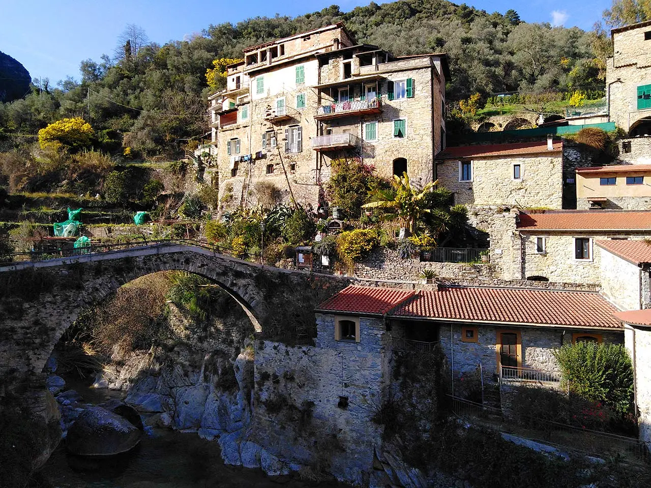
A cluster of medieval houses and buildings, certainly remodeled in later periods, line up neatly along the left bank of the Rio Barbaira, forming what remains of the original settlement. Newer and less extensive is the part to the west of the river, including the central square, connected to the other bank by the medieval humpback bridge at the beginning of the route that leads discerning explorers along the steep paths of the Barbaira valley, immersed in the green landscape of the Ligurian Alps Park. And yet, only 13 kilometers from the sea....
Why it's special
In fact, the small village at the foot of the mountains lies between two streams: the Barbaira stream and the Oggia brook. And if this may suggest a canyoning and hiking paradise, know that there is much more to it. Sure, the sport is a modern way to experience the waterways, but if you sit in the square and listen to the sound of the streams, it becomes clear the country's deep relationship with the waters that flow placidly to the sea. We understand this through the complex channelization system that involves the entire village, creating a sustainable ecosystem.
Not to be missed
Explaining the village's entire water system to us in an utterly genuine and non-technical way is Mr. Enrico, inside his museum of ancient crafts, "E Dubarìe," right above the Barbaira stream. "There are two main canals," he tells us, "u beà, the clean water canal, and a biareira sutana, the hanging canal that collects the dirty water." In short, "a work that honors the industriousness and ingenuity of our ancestors and also their ecological sensitivity, to safeguard the fish stock of the stream then rich in trout and eels."
A bit of history
Fundamental was the intuition of man, since the ancient populations of the Ligurian Celts, who knew how to use this fundamental resource for their own sustenance and agricultural activity, which in turn allowed the production of goods that fueled trade and exchanges with neighboring countries. Well, that agricultural dimension remains fundamental even today, for the production of olive oil, floriculture and special wines that are absolutely to be tasted, sitting in the square, in the peace of a village that awaits only you.
Enter the Map of Italy's Hidden Wonders and find treasures where you least expect it... Inspire, Recommend, Share...
Contacts
Collections
The Map thanks:
Enter the Map of Italy's Hidden Wonders and find treasures where you least expect it... Inspire, Recommend, Share...
Where
Contacts
Collections