

Teglia Pass, the pass in the heart of the Ligurian Alps
A trail immersed in nature where the traces of man must be looked for carefully


Where
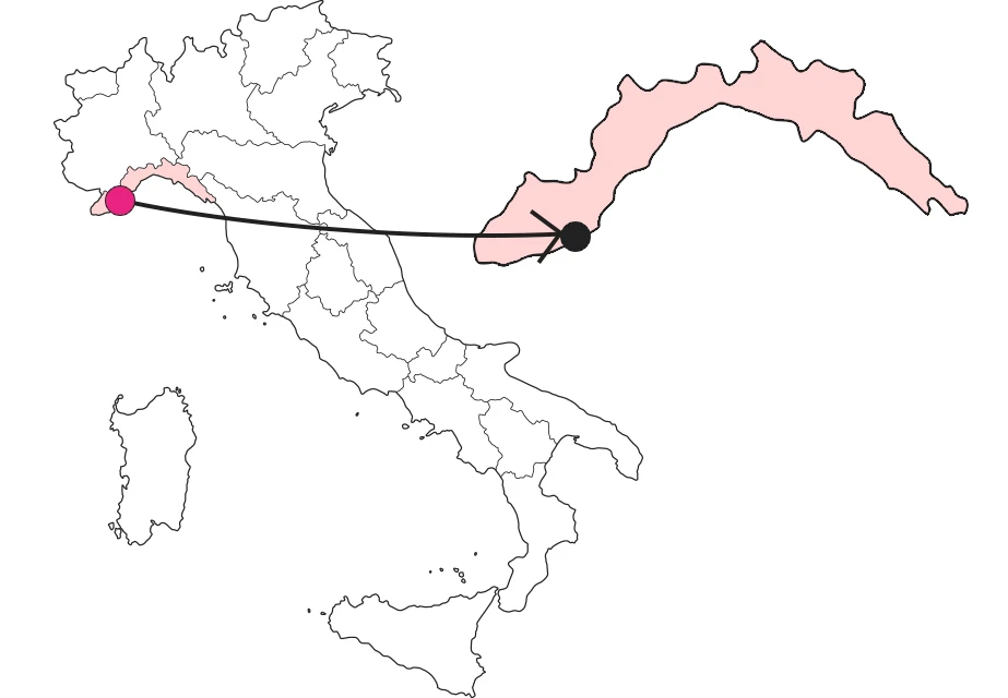
What it is and where it is
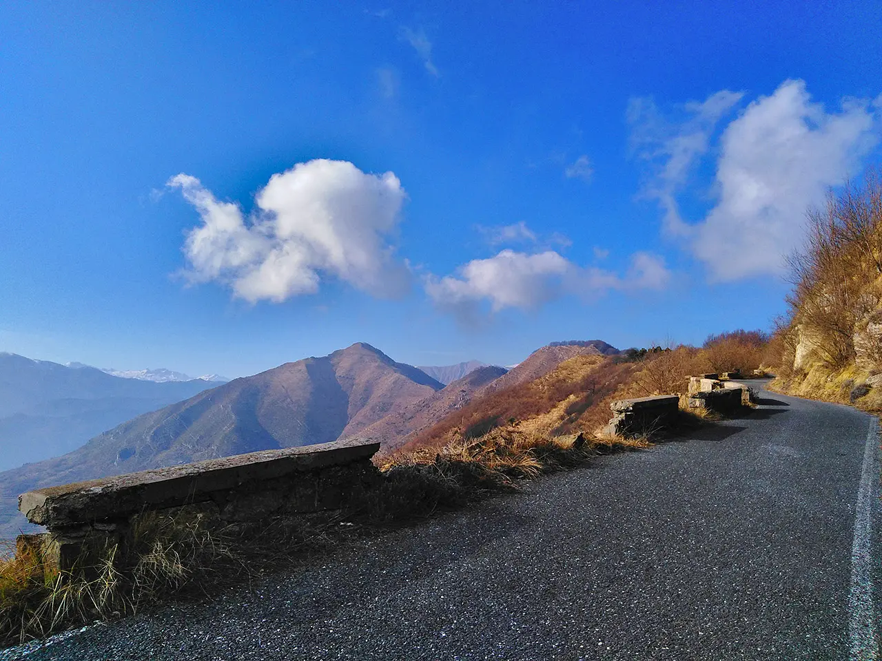
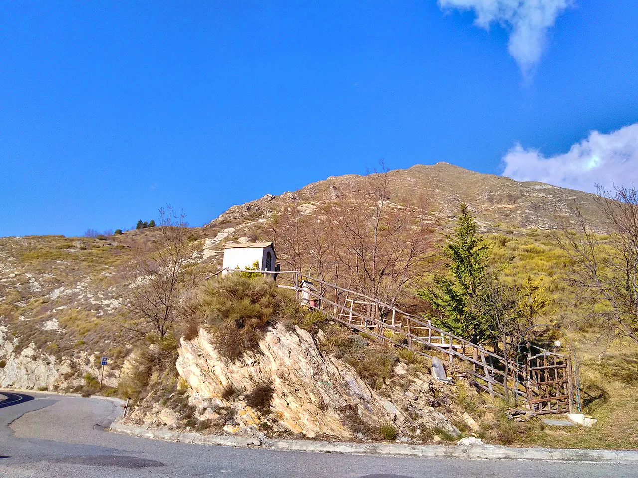
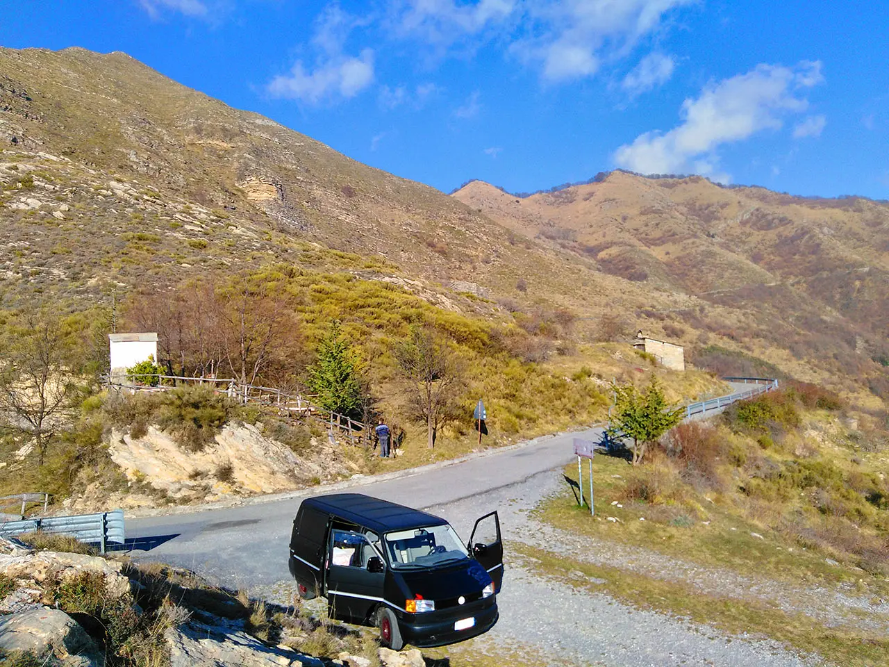
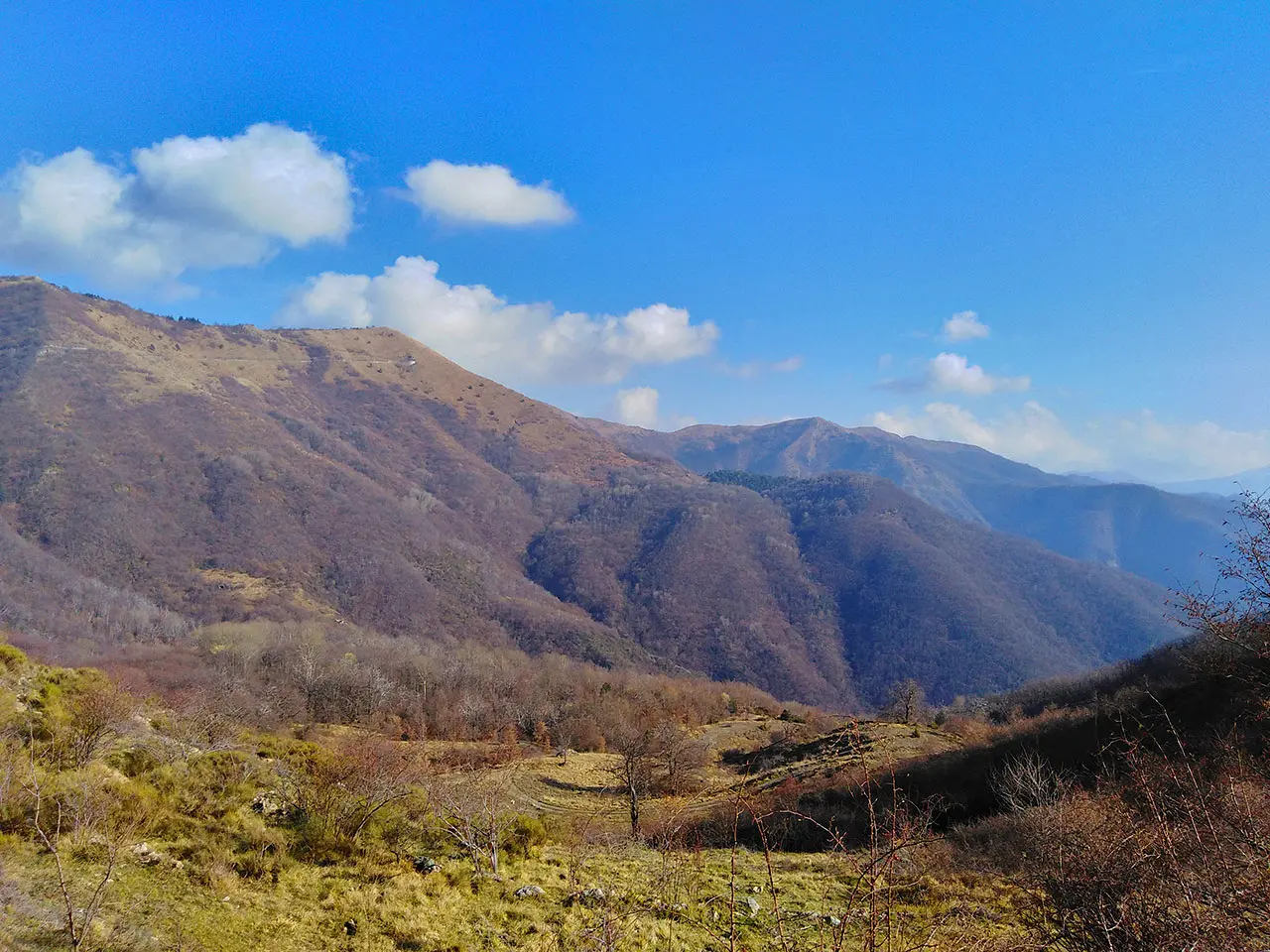
A pass, a hill, an ancient passage... There are many ways in which we can define this place at 1,385 meters above sea level. Yet, any of these words would not be enough to determine its true essence. Lost in the heart of the Regional Natural Park of the Ligurian Alps, we stop to contemplate the immense landscape: from here the rocky peaks of the highest mountains of western Liguria shine, bright, between the Argentina Valley and the Arroscia Valley, where we are headed. The votive chapel of Drego is the only trace of man's passage-or maybe not. Let's try to look for more together. Shall we go?
Because it is special
In truth, this is not the case at all. The main feeling, the one that makes us feel lost along a deserted road through nowhere, does not do justice to the history, culture, fullness and beauty of this place. We soon discover, looking carefully at the map - up here the Internet does not exist - that small mountain settlements are within easy reach, reachable even on foot in a short time. In addition to this, there are numerous absolutely relevant scenic, natural and historical attractions. Curious to know what they are all about?
Not to be missed
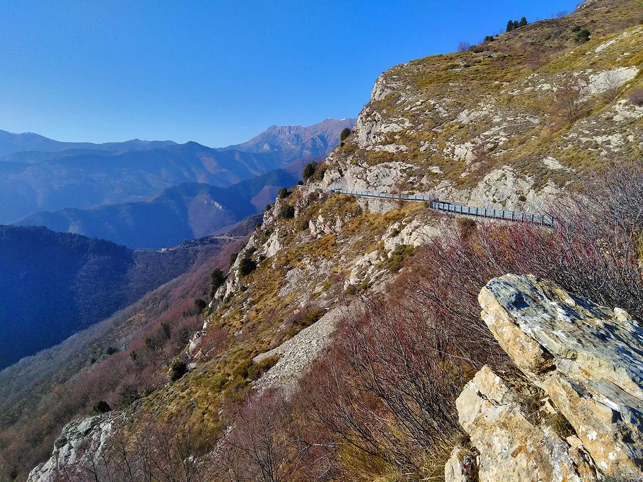
For sports enthusiasts, it is immediate to think of the numerous paths for those who want to do some healthy mountain trekking, but it should not be forgotten that this scenic road is also really loved by Ligurian cyclists, as it is quiet, not at all trafficked and, of course, surrounded by an extraordinary landscape setting. And, yet, there are numerous passing towns, such as Andagna, Drego and Rezzo (once you bypass the pass) at which to find support points.
A bit of history
The ancient Strada Marenca, a fundamental route of communication, especially in medieval times, between Imperia and, more generally, the Riviera di Ponente with the Monregalese Valleys of the deep Ligurian hinterland, passed through this pass. The paths leading from the sea along the ridges of the Arroscia, Argentina, Prelà, Impero, and Maro valleys were mainly used to transport salt, essential for food preservation, tanning hides and feeding animals. And, however, there is archaeological evidence of an even more ancient, prehistoric frequentation: the Menhir.
Curiosities
Arriving at the top of the pass, between Mount Pizzo (1417 m) and Mount Fenaira (1457 m), we look for the path that leads to the Mezzaluna Pass, from which we can also admire the beech forest of the "Bosco di Rezzo," but we have little time. We are unable to find it. Too bad, because once we reach the locality of "Ciotta di San Lorenzo" (Molini di Triora) we can admire a huge megalith, called Menhir, which in Breton means "elongated stone." The altar boulder, now tilted on its side, is evidence of an ancient pastoral settlement, testifying to the passage of man since prehistoric times.
Enter the Map of Italy's Hidden Wonders and find treasures where you least expect it... Inspire, Recommend, Share...
Collections
The Map thanks:
Enter the Map of Italy's Hidden Wonders and find treasures where you least expect it... Inspire, Recommend, Share...
Where
Collections