
The Wine and Stone Trail Between Valpolicella and Lessinia
From the Adige River to the Lessini Mountains, an eight-stage trek winds through ancient lands and offers endless thrills



Where

The Wine and Stone Trail: Where It Is and Why It’s Called That
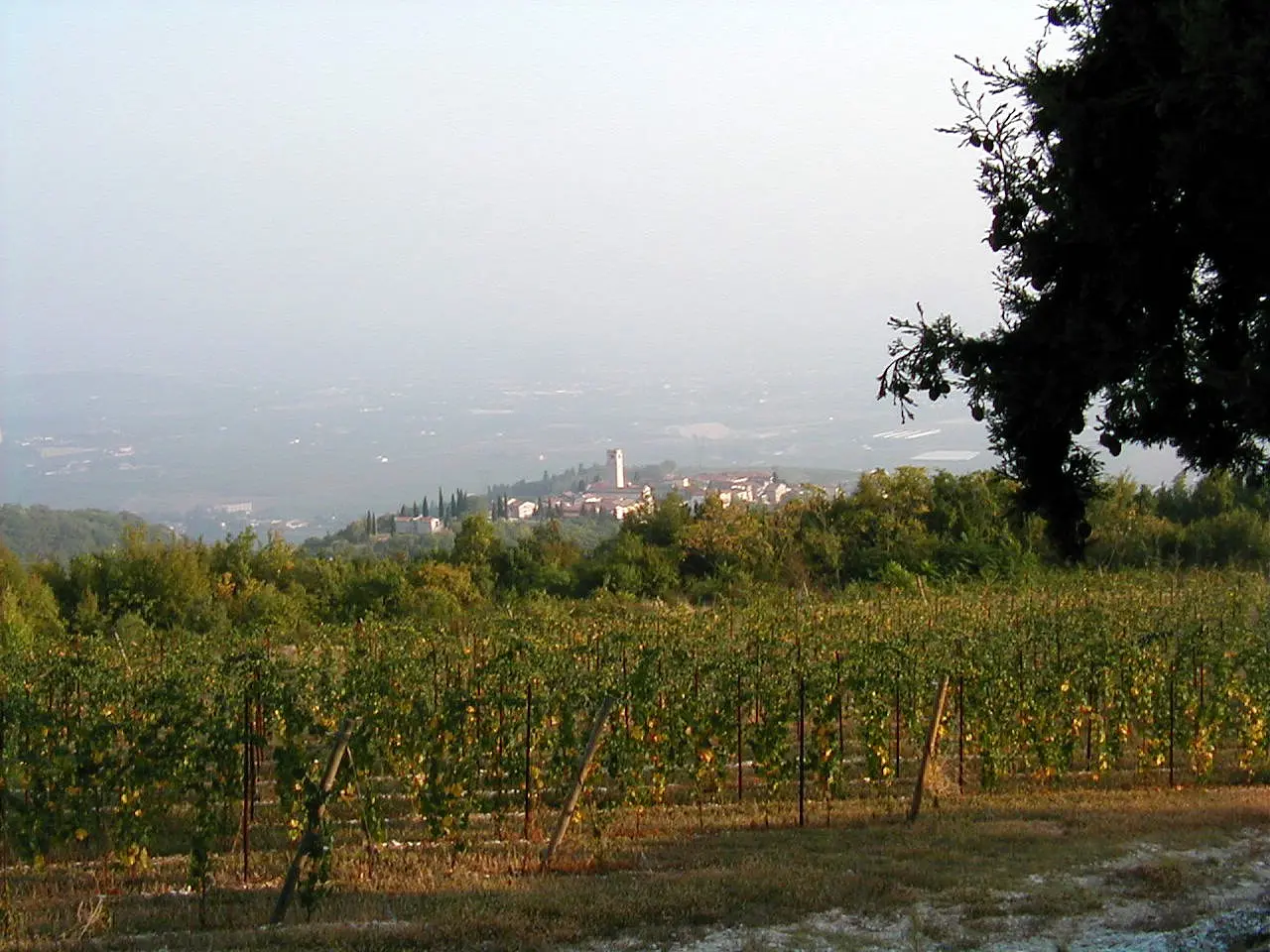
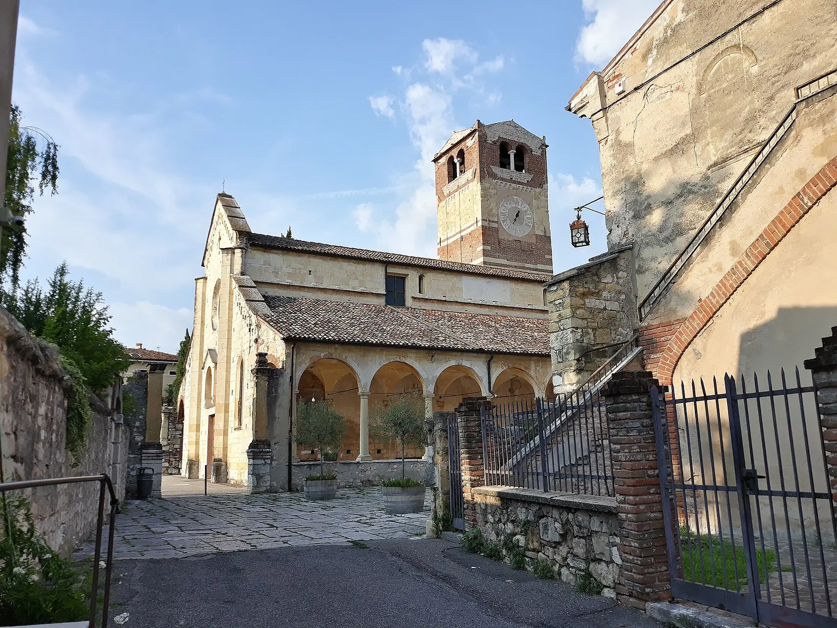
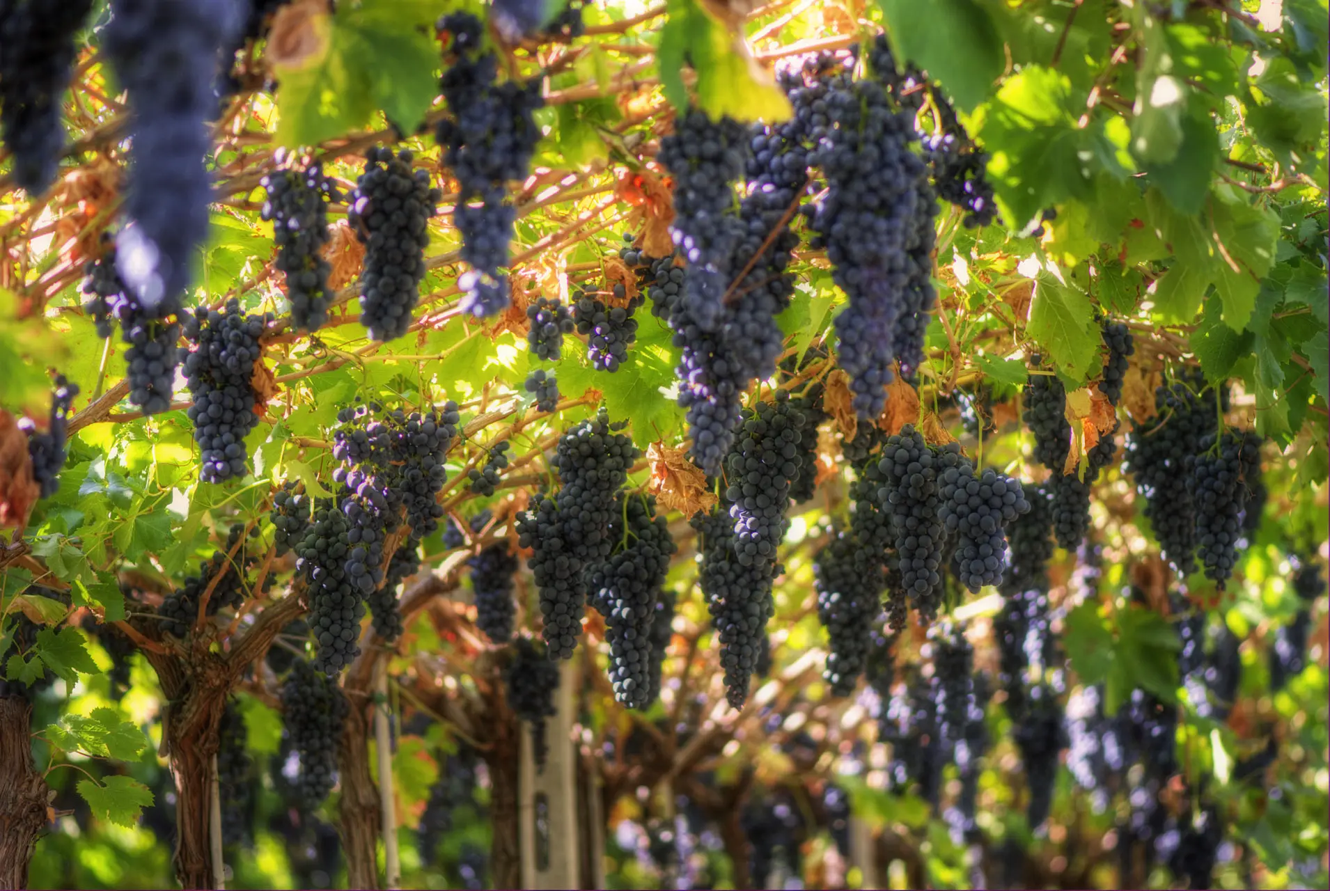
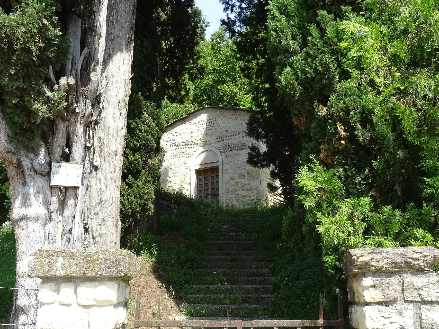
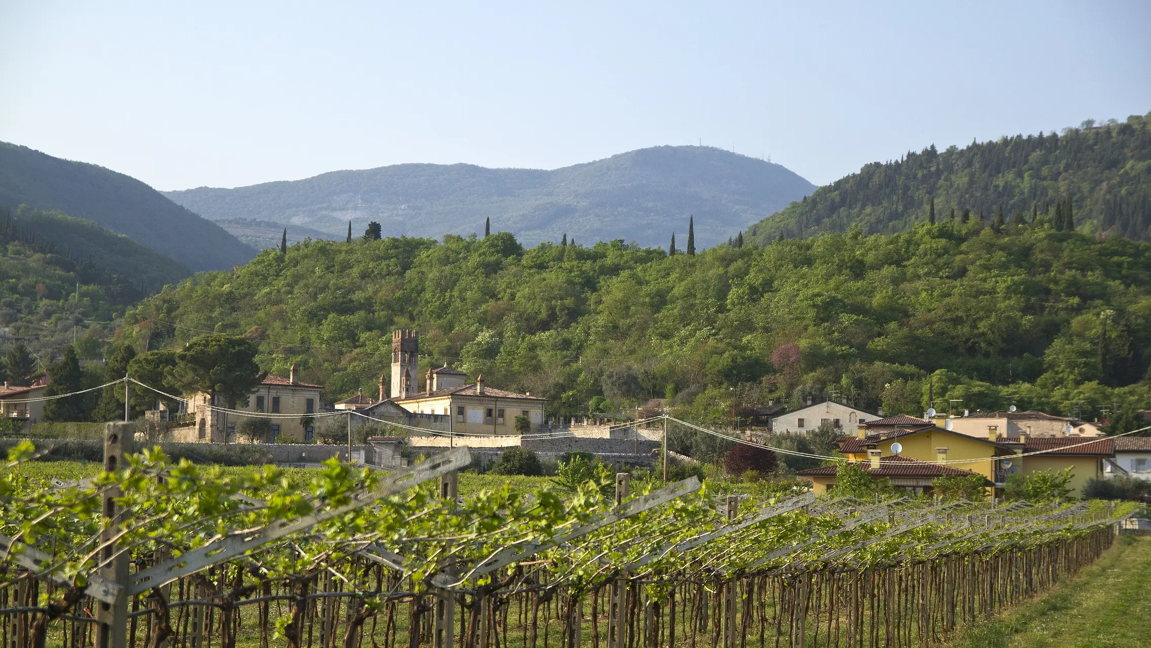
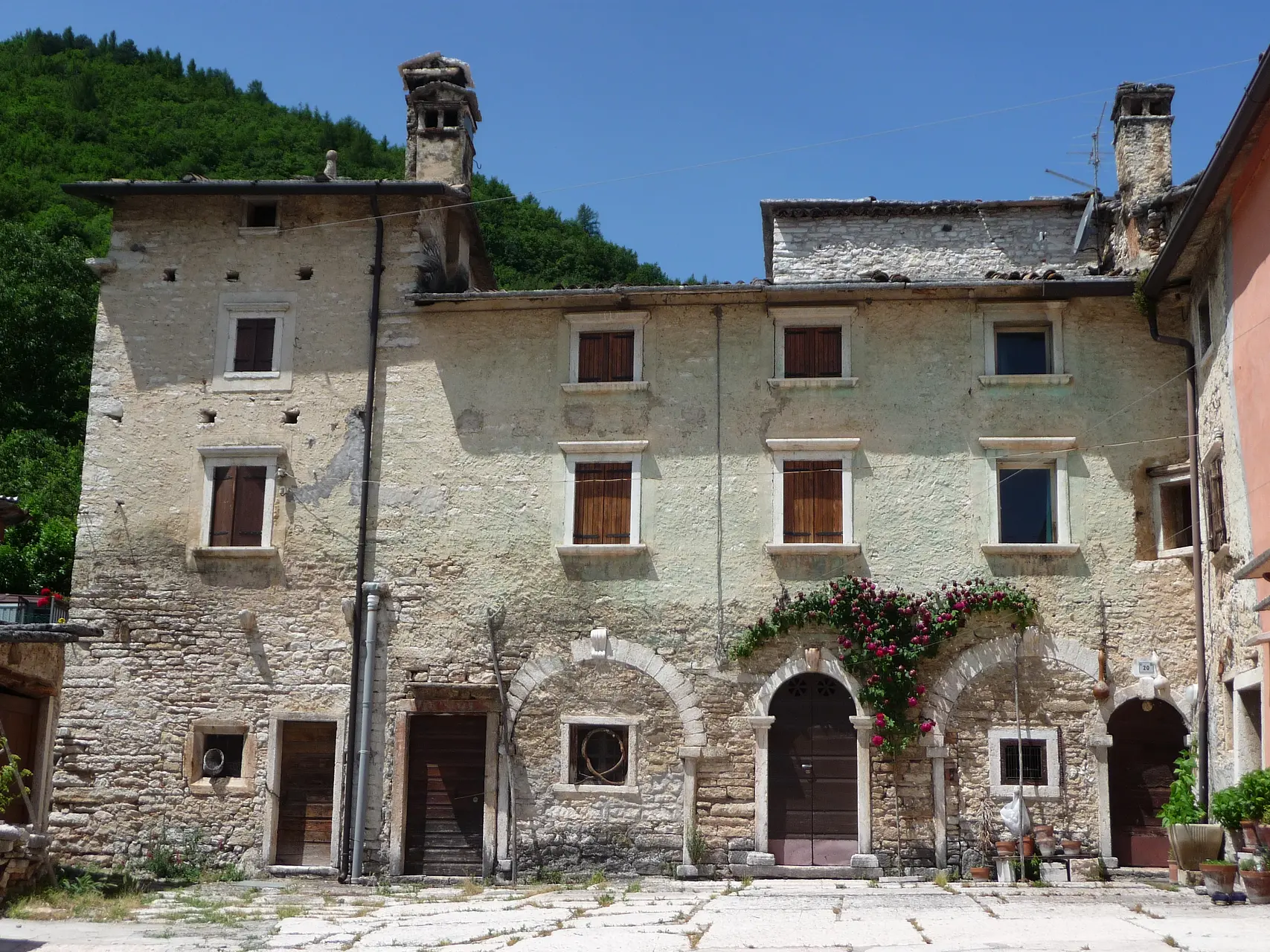
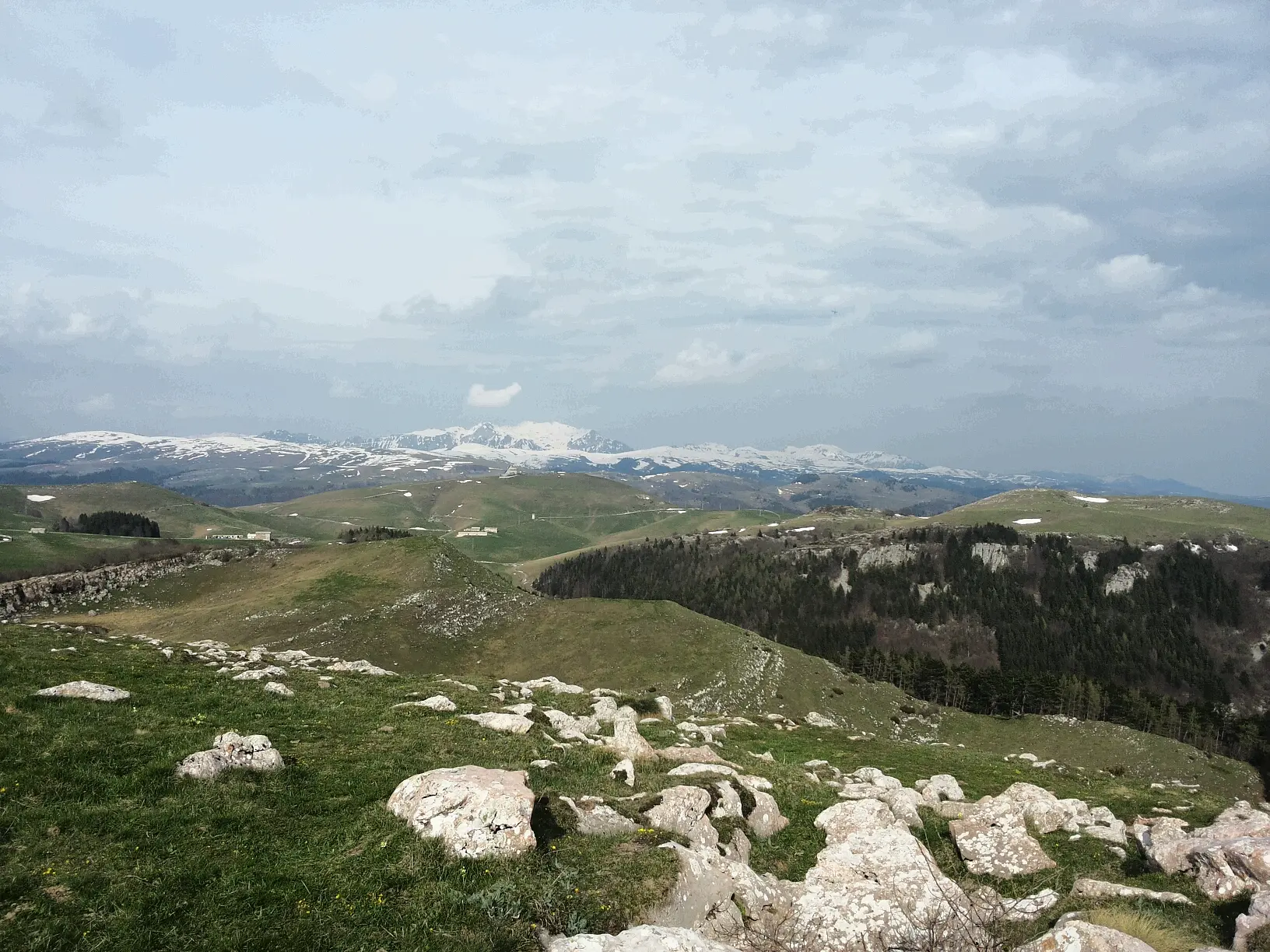
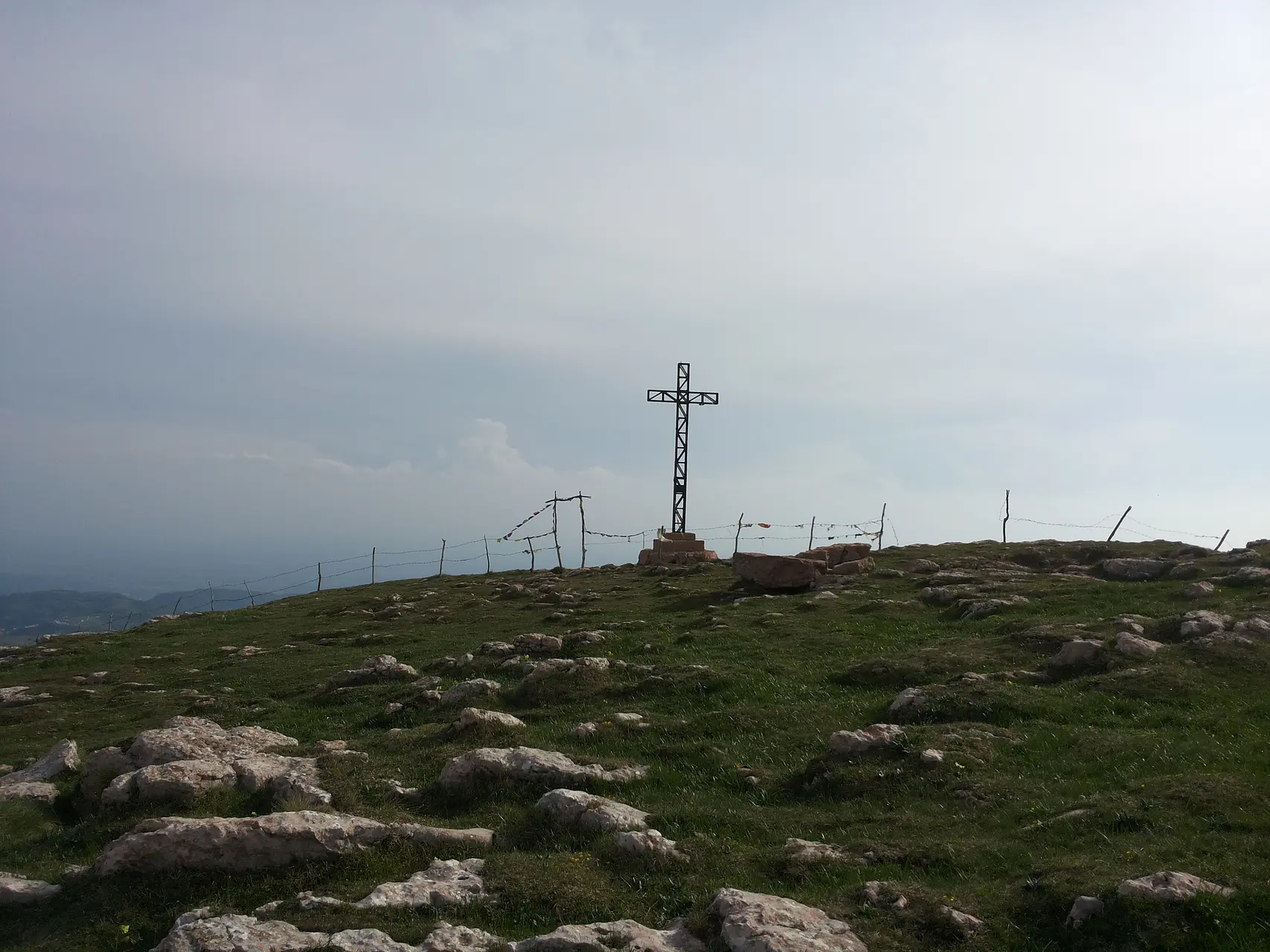
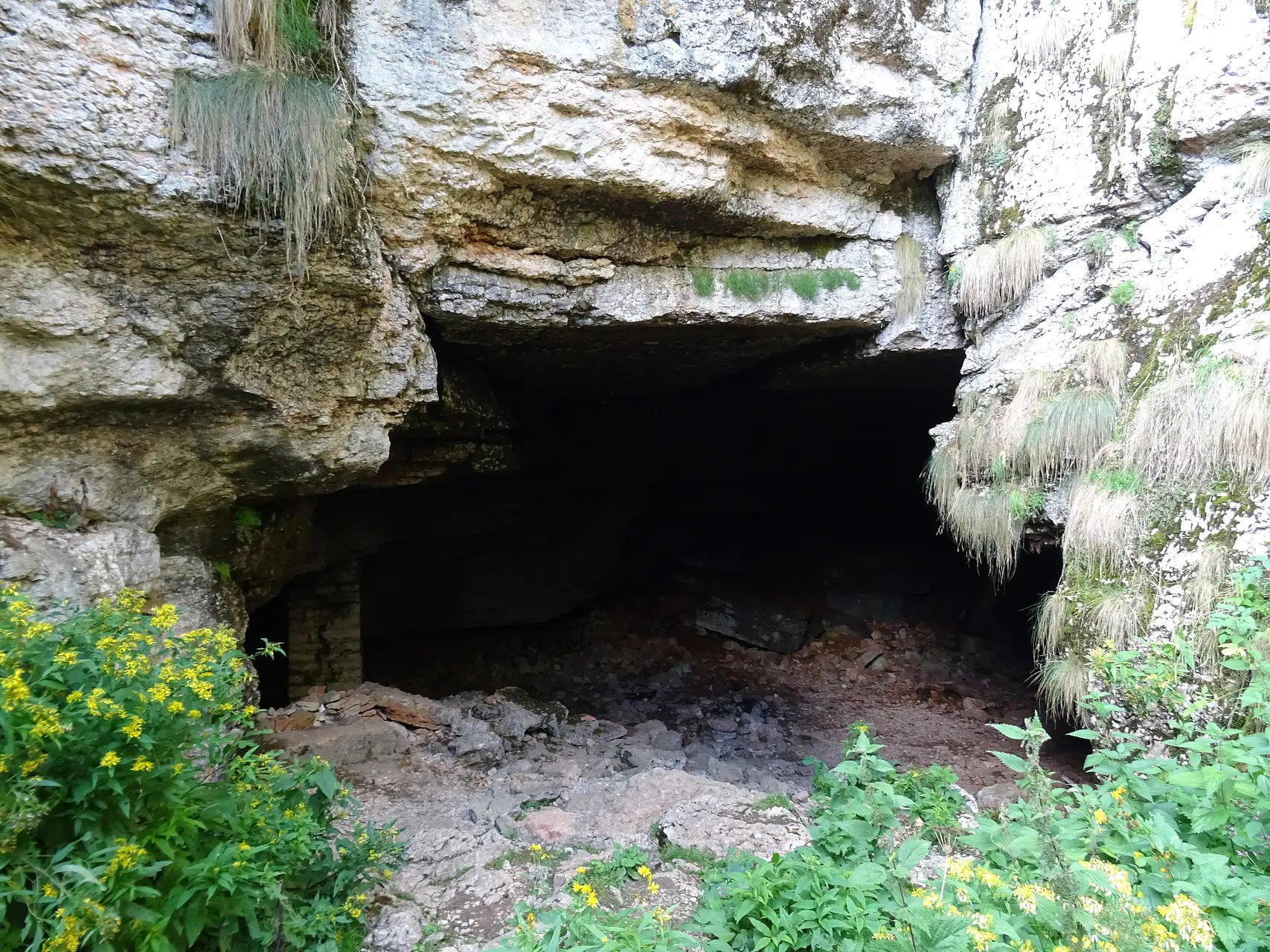
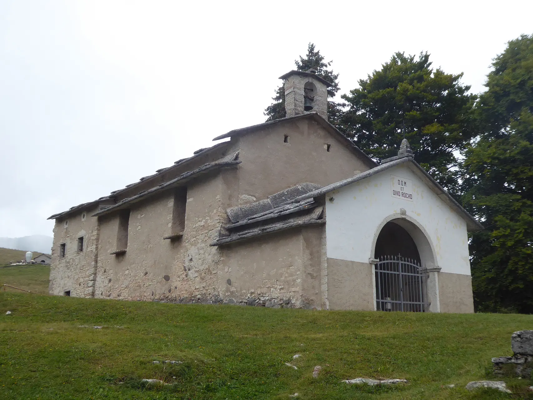
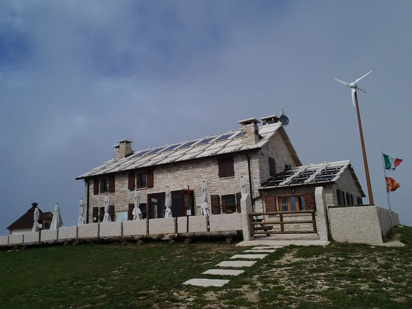
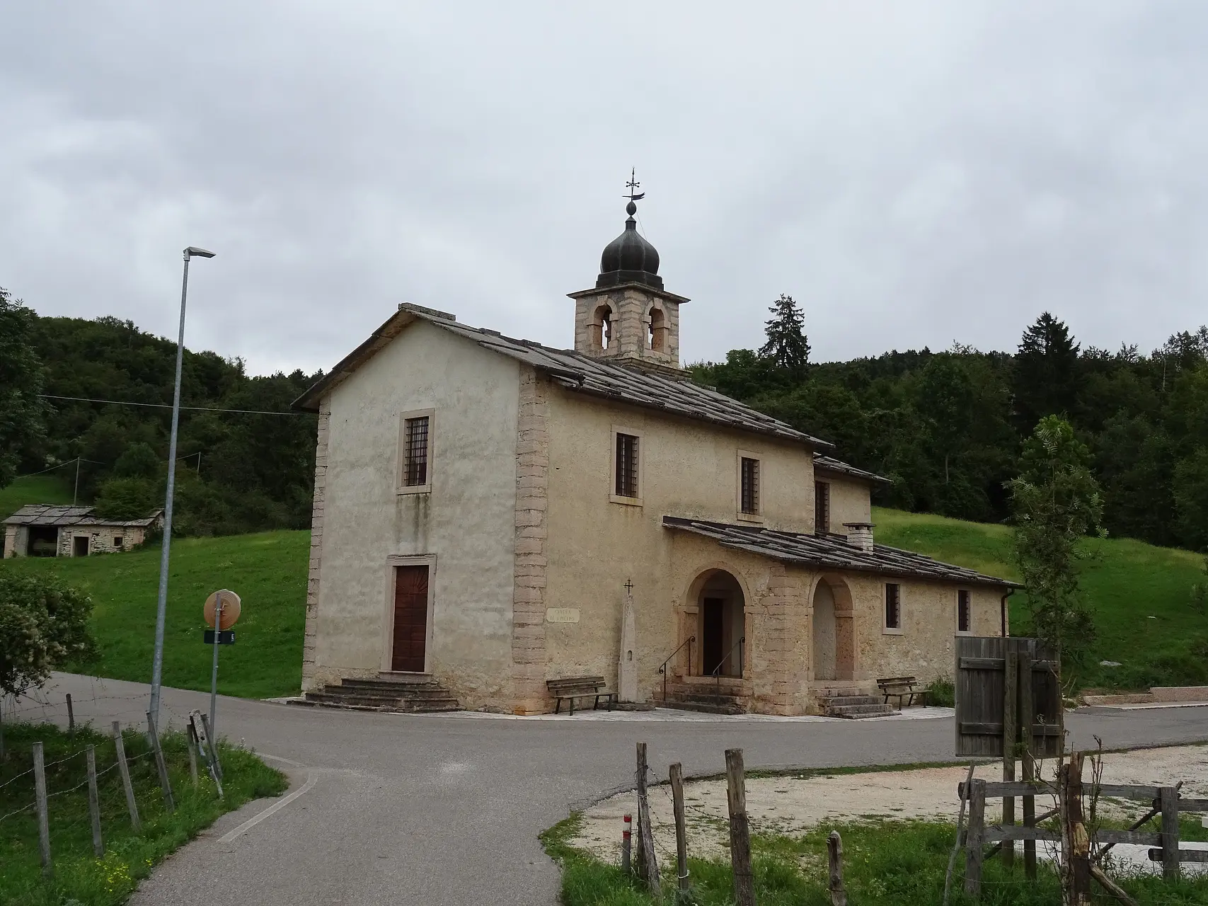
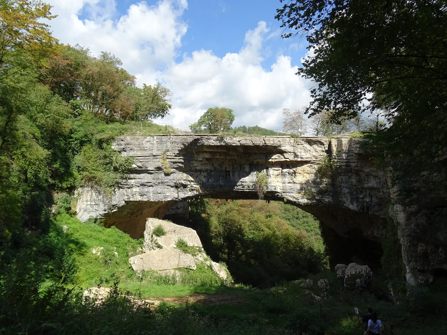
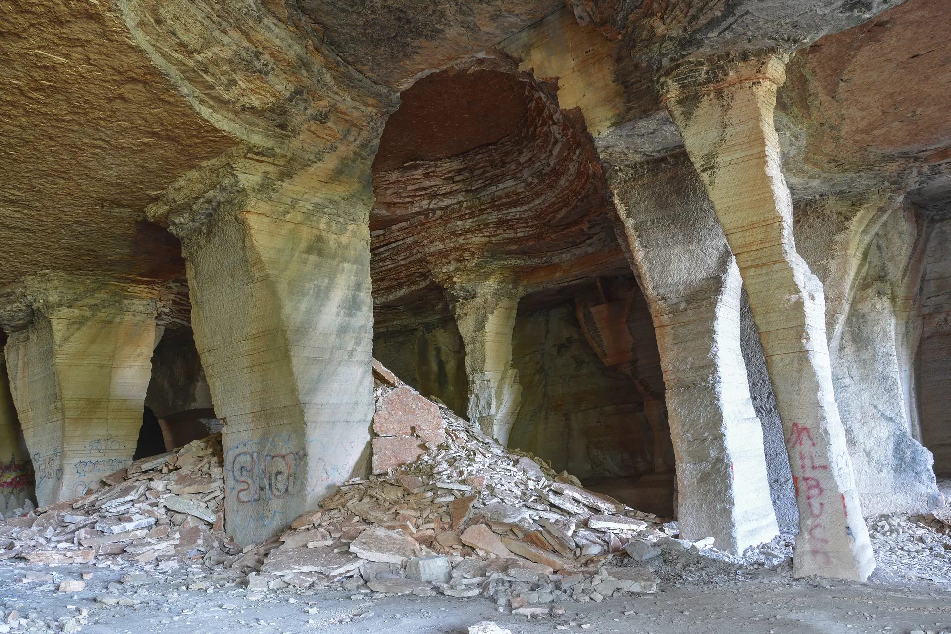
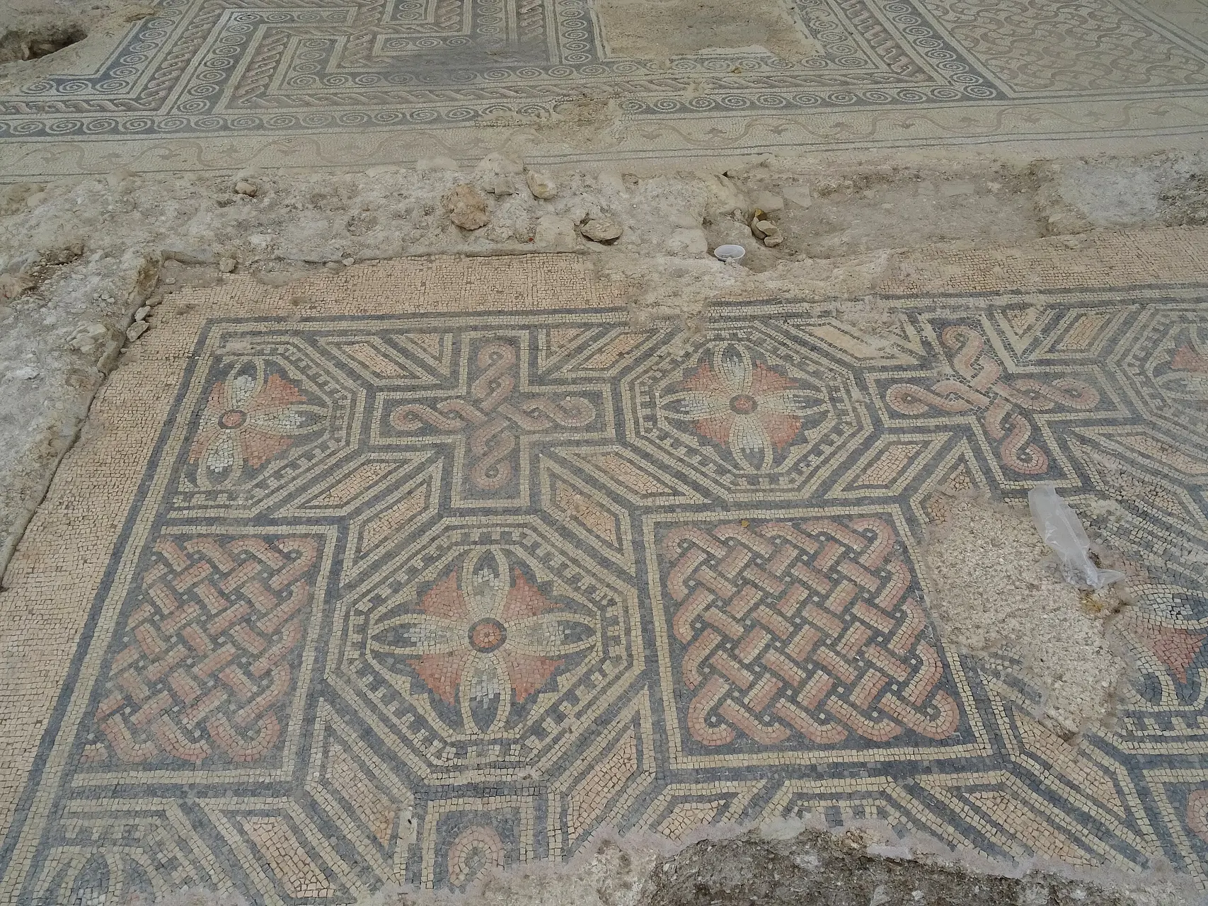
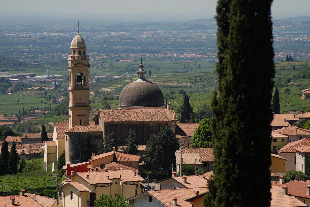
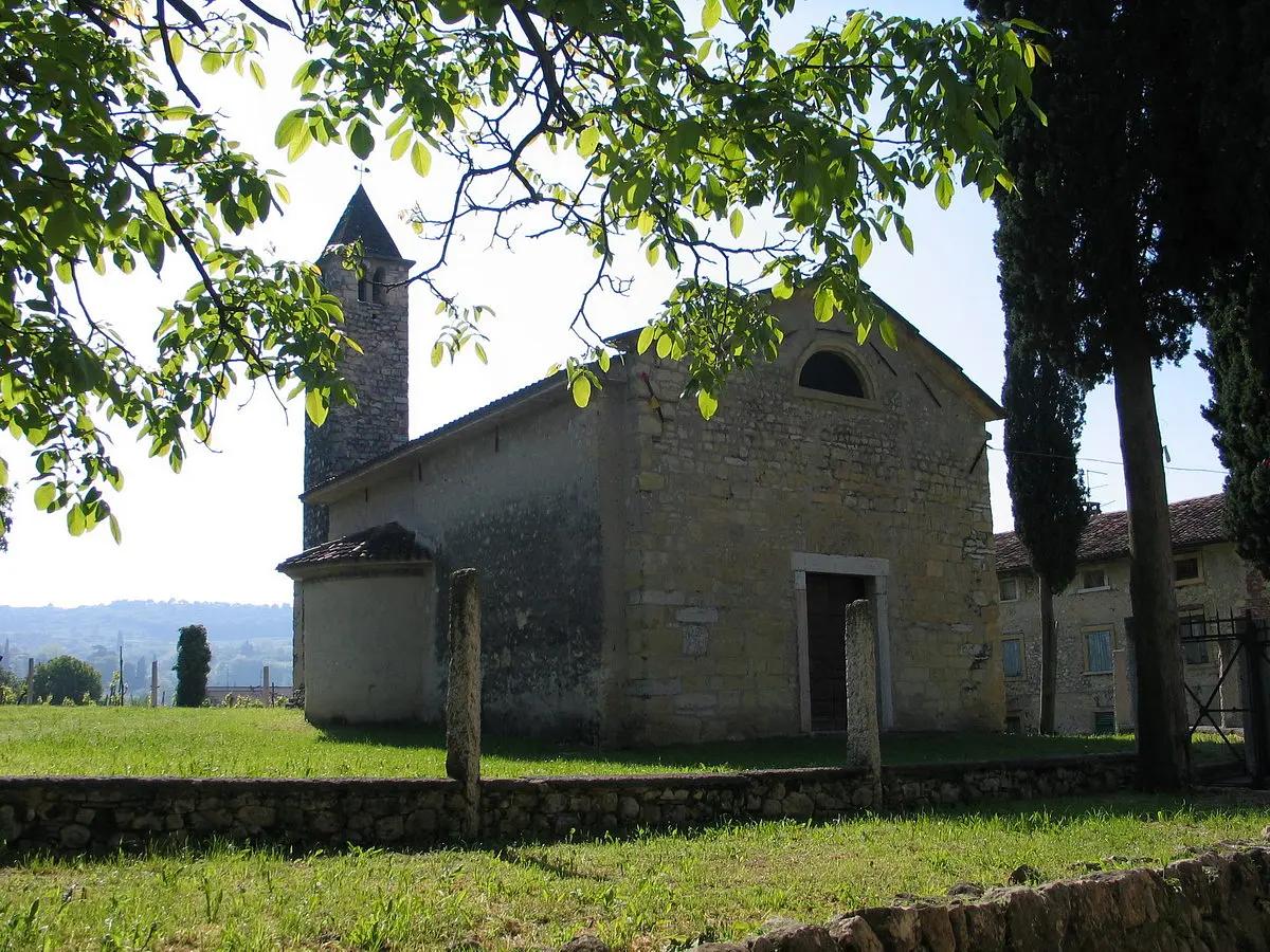
The Wine and Stone Trail is an 8-stage hike that lets you explore a corner of Veneto capable of enchanting anyone who travels through it: Valpolicella and Lessinia. These two regions are very different from one another: one is famous for its vineyards, while the other is primarily associated with mountains, pastures, and old stone villages, but both offer the chance to explore the ancient and ingenious soul of the Veneto hinterland.
The stages of the trail, in brief
The Wine and Stone Trail passes through several municipalities in the northwestern part of the province of Verona. The main itinerary, excluding any variations, takes us through the following municipalities: San Pietro in Cariano, Fumane, Molina, Fosse, Sant’Anna d’Alfaedo, Sega di Ala, Erbezzo, and Negrar di Valpolicella.
Some technical information
- Length: 160 km
- Minimum elevation: 99 m
- Maximum elevation: 1,750 m
- Maximum elevation gain: 6,155 m
- Minimum elevation gain: 6,155 m
Drinking Water
It is recommended to stock up on water in populated areas. Ideally, your supply should last for the entire stage. Along the route, there are springs and fountains, but their water is not certified as safe to drink.
Where to Eat and Stay
On the official website of the Camino , you’ll find a list of “Camino-Friendly” accommodations.
Enter the Map of Italy's Hidden Wonders and find treasures where you least expect it... Inspire, Recommend, Share...
The Map thanks:
Enter the Map of Italy's Hidden Wonders and find treasures where you least expect it... Inspire, Recommend, Share...
Where